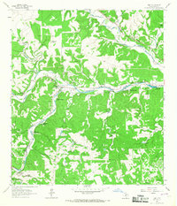
1964 Map of Hunt
USGS Topo · Published 1967About this map
The confluence of the North Fork and South Fork creates the Guadalupe River at Hunt, establishing a landscape defined by riverside recreation and ranching in the mid-1960s. This survey highlights the region's prominent identity as a summer destination, documenting numerous established camps such as Camp Rio Vista, Camp Stewart, Camp La Junta, and Camp Mystic. These facilities, along with the Rodeo Ground near Camp Arrowhead, reflect a specialized economy built around the river's winding course and the spring-fed tributaries like Honey Creek and Johnson Creek.
Find a feature on this map
42 named features on this map. Tap any name to fly to it.
Don’t see what you’re looking for? This feature index may not catch every label — zoom into the map to look around manually.
Map Details
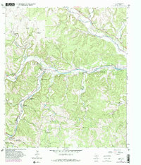
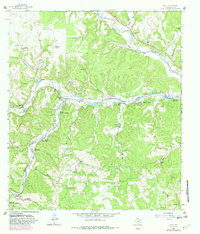
Editions of this 1964 Hunt Map
3 editions found
Other maps of this area

1894 · Kerrville
USGS Topo · 1:125,000

1954 · Llano
USGS Topo · 1:250,000

1954 · San Antonio
USGS Topo · 1:250,000

1955 · Llano
USGS Topo · 1:250,000

1956 · Tuff
USGS Topo · 1:62,500

1956 · Center Point
USGS Topo · 1:62,500

1956 · Llano
USGS Topo · 1:250,000

1957 · San Antonio
USGS Topo · 1:250,000

1964 · Nott Branch
USGS Topo · 1:24,000

1964 · Diamond S Ranch
USGS Topo · 1:24,000