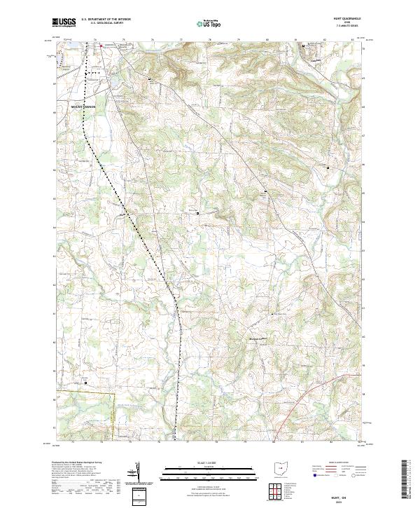
2023 Map of Hunt
USGS Topo · Published 2023About this map
The rolling landscape of central Knox County is defined by the Kokosing River as it winds past the academic hilltop of Gambier. Home to the historic grounds of Kenyon College, this area shows a dense network of township roads and rural settlements like Hunt and Morgan Center. The map details a landscape where traditional agriculture meets educational expansion, anchored by the presence of Mount Vernon Nazarene University on the eastern edge of Mount Vernon.
Find a feature on this map
107 named features on this map. Tap any name to fly to it.
Don’t see what you’re looking for? This feature index may not catch every label — zoom into the map to look around manually.
Map Details
Editions of this 2023 Hunt Map
This is the sole edition of this map. No revisions or reprints were ever made.
Other maps of this area

1908 · Granville
USGS Topo · 1:62,500

1909 · Newark
USGS Topo · 1:62,500

1910 · Granville
USGS Topo · 1:62,500

1912 · Gambier
USGS Topo · 1:62,500

1914 · Gambier
USGS Topo · 1:62,500

1915 · Fredericktown
USGS Topo · 1:62,500

1943 · Gambier
USGS Topo · 1:62,500

1943 · Fredericktown
USGS Topo · 1:62,500

1950 · Marion
USGS Topo · 1:250,000
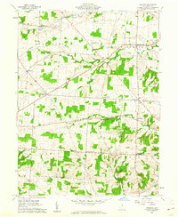
1961 · Fredonia
USGS Topo · 1:24,000