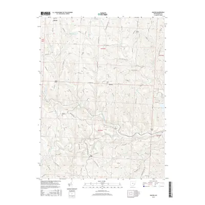
2016 Map of Hunter
USGS Topo · Published 2016About this map
New Castle and the surrounding Belmont County ridges appear in this 2016 survey, a landscape defined by steep hollows and winding township roads. The map documents a predominantly rural region where small settlements like Hunter and Speidel are connected by a network of high-elevation routes, including New Castle Rd and S 26th Rd. The complex drainage system of the area is anchored by the South Fork Captina Creek and Captina Creek, which carve deep valleys through the terrain.
Find a feature on this map
135 named features on this map. Tap any name to fly to it.
Don’t see what you’re looking for? This feature index may not catch every label — zoom into the map to look around manually.
Map Details
Editions of this 2016 Hunter Map
This is the sole edition of this map. No revisions or reprints were ever made.
Other maps of this area

1903 · Flushing
USGS Topo · 1:62,500

1905 · Clarington
USGS Topo · 1:62,500

1905 · St. Clairsville
USGS Topo · 1:62,500

1905 · Woodsfield
USGS Topo · 1:62,500

1905 · Flushing
USGS Topo · 1:62,500

1935 · Clarington
USGS Topo · 1:62,500

1940 · Clarington
USGS Topo · 1:62,500

1949 · Clarksburg
USGS Topo · 1:250,000

1951 · Canton
USGS Topo · 1:250,000

1953 · Canton
USGS Topo · 1:250,000