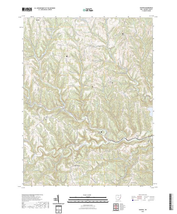
2023 Map of Hunter
USGS Topo · Published 2023About this map
Speidel and New Castle anchor this portion of Belmont County, where the topography is defined by the winding drainages of the North Fork Captina Creek and South Fork Captina Creek. The landscape is a network of ridges and hollows, notably Sandy Ridge and Reeves Hollow, which have dictated the placement of local roads and farmsteads for generations. This modern survey reflects a deeply rooted rural community, preserved through numerous hilltop burial grounds that serve as vital genealogical markers.
Find a feature on this map
98 named features on this map. Tap any name to fly to it.
Don’t see what you’re looking for? This feature index may not catch every label — zoom into the map to look around manually.
Map Details
Editions of this 2023 Hunter Map
This is the sole edition of this map. No revisions or reprints were ever made.
Other maps of this area

1903 · Flushing
USGS Topo · 1:62,500

1905 · Clarington
USGS Topo · 1:62,500

1905 · St. Clairsville
USGS Topo · 1:62,500

1905 · Woodsfield
USGS Topo · 1:62,500

1905 · Flushing
USGS Topo · 1:62,500

1935 · Clarington
USGS Topo · 1:62,500

1940 · Clarington
USGS Topo · 1:62,500

1949 · Clarksburg
USGS Topo · 1:250,000

1951 · Canton
USGS Topo · 1:250,000

1953 · Canton
USGS Topo · 1:250,000