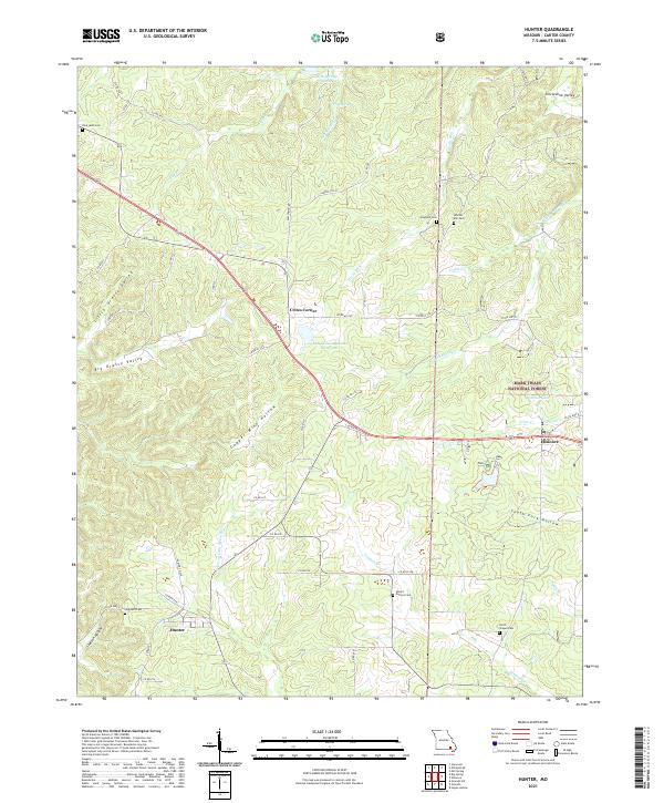
2021 Map of Hunter
USGS Topo · Published 2021About this map
Hunter and Ellsinore anchor this 2021 study of Carter County, where the Ozark landscape is defined by a dense network of hollows and creek branches. Much of the eastern terrain falls within the Mark Twain National Forest, a region characterized by significant relief including Copper Mine Hollow and South Fork Hollow. Local genealogy is well-represented by several family and community burial sites, such as Whites Mill Cem, Smith Chapel Cem, and Highland Cem. The drainage pattern is complex, with the Prong Little Black River and Tenmile Cr carving through the valleys. Man-made landmarks like the Rozark Incorporated Reservoir and Crites Corner show the modern footprint of commerce and utility amidst the traditional rural settlements, while state highways and county roads provide the primary corridors through the heavy forest cover.
Find a feature on this map
59 named features on this map. Tap any name to fly to it.
Don’t see what you’re looking for? This feature index may not catch every label — zoom into the map to look around manually.
Map Details
Editions of this 2021 Hunter Map
This is the sole edition of this map. No revisions or reprints were ever made.
Other maps of this area

1932 · Piedmont
USGS Topo · 1:62,500

1934 · Williamsville
USGS Topo · 1:48,000

1935 · Piedmont
USGS Topo · 1:62,500

1940 · Williamsville
USGS Topo · 1:62,500

1943 · Ellington
USGS Topo · 1:62,500

1944 · Grandin
USGS Topo · 1:62,500

1945 · Ellington
USGS Topo · 1:62,500

1946 · Grandin
USGS Topo · 1:62,500

1949 · Rolla
USGS Topo · 1:250,000

1953 · Rolla
USGS Topo · 1:250,000