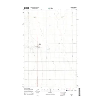
2014 Map of Hunter
USGS Topo · Published 2014About this map
The town of Hunter serves as the central hub of this agricultural landscape in eastern North Dakota. Surveyed in 2014, the map reveals a strictly organized section-line road system that defines the prairie, where large-scale farming is supported by an intricate grid of avenues and streets. The north-south corridor of Main St and 155th Ave SE connects the local community to the surrounding fields, while the S Br Elm River provides a rare break in the geometric precision of the terrain as it meanders through the heart of the region.
Find a feature on this map
26 named features on this map. Tap any name to fly to it.
Don’t see what you’re looking for? This feature index may not catch every label — zoom into the map to look around manually.
Map Details
Editions of this 2014 Hunter Map
This is the sole edition of this map. No revisions or reprints were ever made.
Other maps of this area

1918 · Kelso
USGS Topo · 1:62,500

1943 · Kelso
USGS Topo · 1:62,500

1952 · Grand Forks
USGS Topo · 1:250,000

1956 · Grand Forks
USGS Topo · 1:250,000

1963 · Kelso
USGS Topo · 1:24,000

1966 · Grand Forks
USGS Topo · 1:250,000
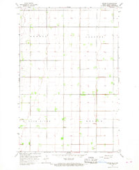
1966 · Arthur SE
USGS Topo · 1:24,000

1967 · Ayr NE
USGS Topo · 1:24,000

1967 · Blanchard
USGS Topo · 1:24,000
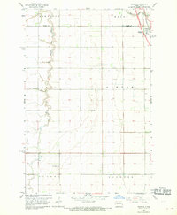
1967 · Grandin
USGS Topo · 1:24,000