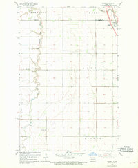
1967 Map of Grandin
USGS Topo · Published 1969About this map
Grandin sits at the nexus of the Red River Valley's agricultural and transportation corridors along the Traill and Cass County line. The Great Northern railroad parallels the main highway corridor, where planners in the late 1960s were already designating a 2 Lane Proposed Location for future infrastructure expansion. This transition era is marked by the contrast between these modern transit lines and the meandering path of the South Branch Elm River, which defines the western landscape of Bell and Bohnsack. Genealogists will find several burial grounds noted across the prairie, including Grandin Cem near the townsite and the Rose Valley Cem further south. The map's surveyed sections reflect the orderly township grid system, with large agricultural tracts partitioned into Gardner, Gunkel, and Kinyon.
Find a feature on this map
16 named features on this map. Tap any name to fly to it.
Don’t see what you’re looking for? This feature index may not catch every label — zoom into the map to look around manually.
Map Details
Editions of this 1967 Grandin Map
2 editions found
Other maps of this area

1918 · Kelso
USGS Topo · 1:62,500

1918 · Hendrum
USGS Topo · 1:62,500

1943 · Kelso
USGS Topo · 1:62,500

1952 · Grand Forks
USGS Topo · 1:250,000

1956 · Grand Forks
USGS Topo · 1:250,000
1963 · Argusville
USGS Topo · 1:24,000

1963 · Gardner
USGS Topo · 1:24,000

1963 · Kelso
USGS Topo · 1:24,000

1963 · Halstad SW
USGS Topo · 1:24,000

1966 · Grand Forks
USGS Topo · 1:250,000