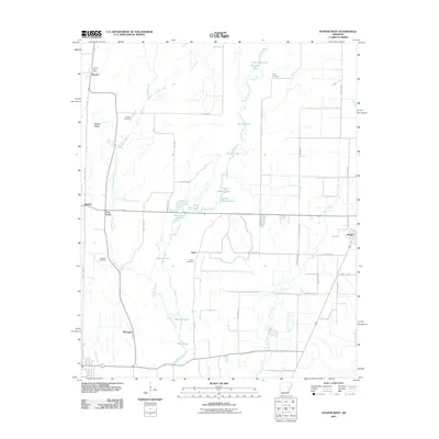
2011 Map of Hunter West
USGS Topo · Published 2011About this map
Bayou De View meanders through the heart of this East Arkansas landscape, anchoring a complex system of sloughs and lakes that dominate the local topography. This hydrologic network, including Upper Seibert Lake, Lower Seibert Lake, and Johnson Lake, reflects the bottomland character of Woodruff County. Small agricultural settlements and crossroads like Howell, Becton, and Four Forks are connected by a grid of rural roads, while the Howell Post Office remains a central landmark for the northern portion of the quadrangle.
Find a feature on this map
48 named features on this map. Tap any name to fly to it.
Don’t see what you’re looking for? This feature index may not catch every label — zoom into the map to look around manually.
Map Details
Editions of this 2011 Hunter West Map
This is the sole edition of this map. No revisions or reprints were ever made.
Other maps of this area
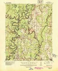
1935 · Gregory
USGS Topo · 1:62,500
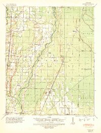
1939 · Hunter
USGS Topo · 1:62,500
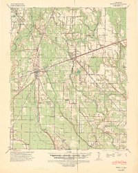
1940 · Brinkley
USGS Topo · 1:62,500
1941 · De Valls Bluff
USGS Topo · 1:62,500

1948 · Helena
USGS Topo · 1:250,000

1950 · Helena
USGS Topo · 1:250,000

1953 · Memphis
USGS Topo · 1:250,000

1955 · Helena
USGS Topo · 1:250,000

1956 · Memphis
USGS Topo · 1:250,000
1956 · Hunter
USGS Topo · 1:62,500