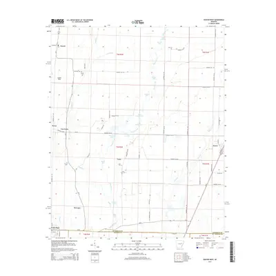
2014 Map of Hunter West
USGS Topo · Published 2014About this map
The lowlands of eastern Woodruff County are defined by the winding course of Bayou De View, which feeds a complex system of oxbow lakes and wetlands including Upper Seibert Lake, Lower Seibert Lake, and Buzzard Lake. This landscape, documented in 2014, shows a pattern of rural settlement concentrated along higher ground like Nubbin Ridge and the corridors of Ar-17 and Us-49. For genealogists, the map is a primary resource for locating family burial sites such as Lake Grove Cem, Crowder Cem, and Reneau Cem, which sit near smaller communities like Casey and McGregor. To the south, the city of Cotton Plant serves as a local hub at the meeting of Woodruff and Monroe counties, while the town of Hunter anchors the eastern edge of the survey near Caney Cr.
Find a feature on this map
72 named features on this map. Tap any name to fly to it.
Don’t see what you’re looking for? This feature index may not catch every label — zoom into the map to look around manually.
Map Details
Editions of this 2014 Hunter West Map
This is the sole edition of this map. No revisions or reprints were ever made.
Other maps of this area

1935 · Gregory
USGS Topo · 1:62,500

1939 · Hunter
USGS Topo · 1:62,500

1940 · Brinkley
USGS Topo · 1:62,500

1941 · De Valls Bluff
USGS Topo · 1:62,500

1948 · Helena
USGS Topo · 1:250,000

1950 · Helena
USGS Topo · 1:250,000

1953 · Memphis
USGS Topo · 1:250,000

1955 · Helena
USGS Topo · 1:250,000

1956 · Memphis
USGS Topo · 1:250,000

1956 · Hunter
USGS Topo · 1:62,500