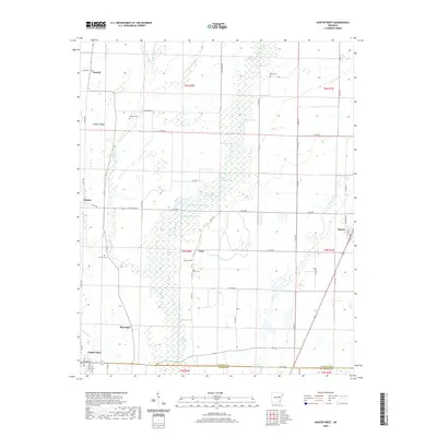
2020 Map of Hunter West
USGS Topo · Published 2020About this map
Cotton Plant anchors the southwest corner of this landscape where the Grand Prairie meets the bottomlands of the Arkansas Delta. The terrain is defined by an intricate network of wetlands and oxbows, most notably Bayou De View which snakes through the center of the sheet, flanked by numerous named bodies of water such as Brushy Lake, Johnson Lake, and Morrison Lake. These waterways have long dictated the placement of small rural communities and family cemeteries that dot the higher ground.
Find a feature on this map
69 named features on this map. Tap any name to fly to it.
Don’t see what you’re looking for? This feature index may not catch every label — zoom into the map to look around manually.
Map Details
Editions of this 2020 Hunter West Map
This is the sole edition of this map. No revisions or reprints were ever made.
Other maps of this area

1935 · Gregory
USGS Topo · 1:62,500

1939 · Hunter
USGS Topo · 1:62,500

1940 · Brinkley
USGS Topo · 1:62,500

1941 · De Valls Bluff
USGS Topo · 1:62,500

1948 · Helena
USGS Topo · 1:250,000

1950 · Helena
USGS Topo · 1:250,000

1953 · Memphis
USGS Topo · 1:250,000

1955 · Helena
USGS Topo · 1:250,000

1956 · Memphis
USGS Topo · 1:250,000

1956 · Hunter
USGS Topo · 1:62,500