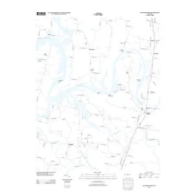
2013 Map of Hunters Point
USGS Topo · Published 2013About this map
Cumberland River bends and islands define this landscape north of Lebanon, where modern development meets established rural crossroads. Significant infrastructure like the Nathan J Harsh Bridge connects the riverbanks near the community of Hunters Point, a key focal point for transportation and commerce. The map records the persistence of several named settlements, including Oakland, Cairo, and Macedonia, which maintain their identity amidst a growing network of residential roads such as Belotes Ferry Rd and Cave Springs RD. Prominent river features like Indian Ladder Bluff, Sevenmile Bluff, and Armstrong Island reveal the winding path of the waterway, while recreational sites like the Wilson Boat Dock and Misty Cove Marina highlight the river's role in local leisure and industry.
Find a feature on this map
113 named features on this map. Tap any name to fly to it.
Don’t see what you’re looking for? This feature index may not catch every label — zoom into the map to look around manually.
Map Details
Editions of this 2013 Hunters Point Map
This is the sole edition of this map. No revisions or reprints were ever made.
Other maps of this area

1942 · Statesville
USGS Topo · 1:100,000

1942 · Gallatin
USGS Topo · 1:100,000

1942 · Lebanon
USGS Topo · 1:100,000

1951 · Lebanon
USGS Topo · 1:24,000

1951 · Martha
USGS Topo · 1:24,000

1955 · Bethpage
USGS Topo · 1:24,000

1955 · Laguardo
USGS Topo · 1:24,000

1955 · Hunters Point
USGS Topo · 1:24,000

1955 · Gallatin
USGS Topo · 1:24,000

1956 · Nashville
USGS Topo · 1:250,000