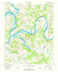
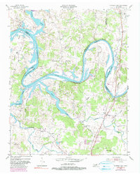
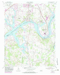
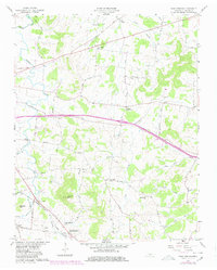
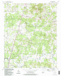
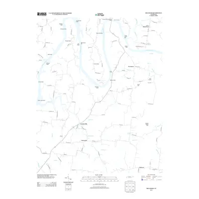
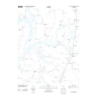
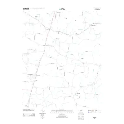
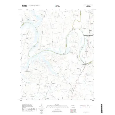
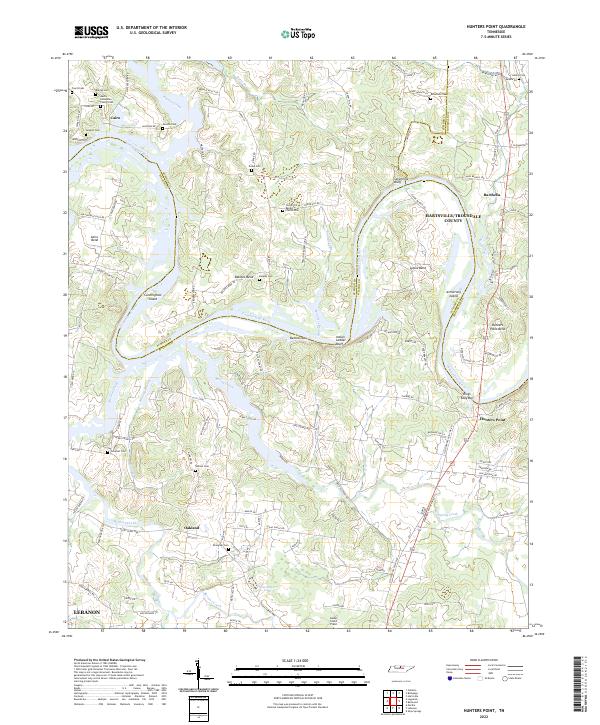
1955 Map of Hunters Point
USGS Topo · Published 1973About this map
The winding Cumberland River dominates this mid-century landscape of Wilson and Sumner Counties, where the newly formed Old Hickory Reservoir has begun to reshape the riverbanks. The terrain is characterized by dramatic river bends like Cairo Bend and Belotes Bend, where small rural communities are anchored by local institutions. Near the river crossing at Hunters Point, the Nathan J Harsh Bridge serves as a critical link, while the presence of Ferry Road points to older methods of navigating these waterways. Inland, the map reveals a high density of rural churches and schools that formed the social backbone of the era, including the Philadelphia Church and Carroll School. The landscape is further marked by significant water features such as Spring Creek and the distinctive Indian Ladder Bluff, illustrating the complex topography that historically influenced settlement patterns and local transit routes like Cedar Pike.
Find a feature on this map
43 named features on this map. Tap any name to fly to it.
Don’t see what you’re looking for? This feature index may not catch every label — zoom into the map to look around manually.
Map Details
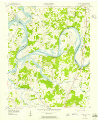
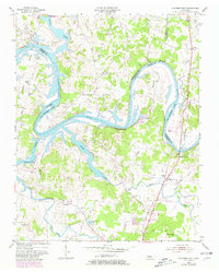
Editions of this 1955 Hunters Point Map
4 editions found
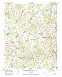
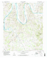
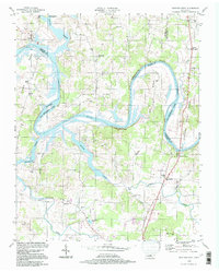
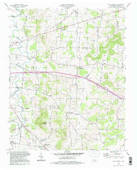
Historical Maps of Lebanon Through Time
40 maps found
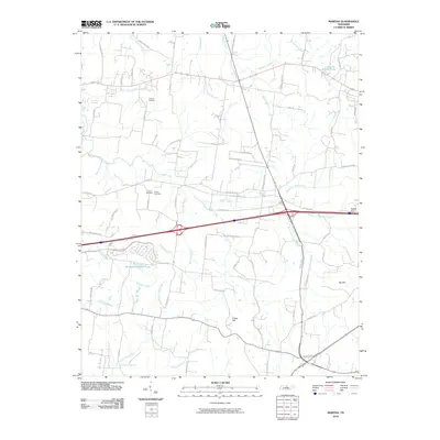
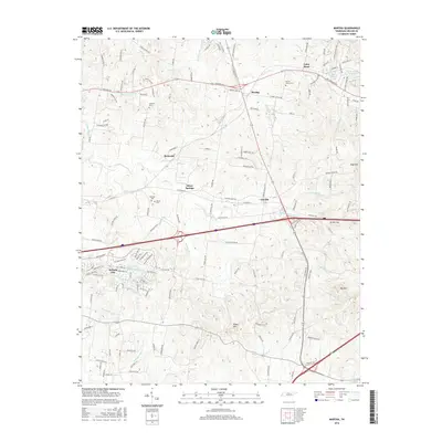
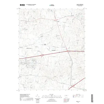
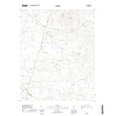
1951 Martha
Wilson County, TN
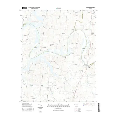
1955 Hunters Point
Wilson County, TN
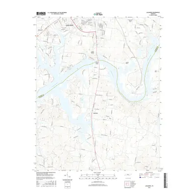
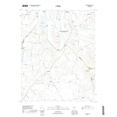
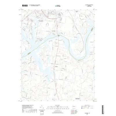
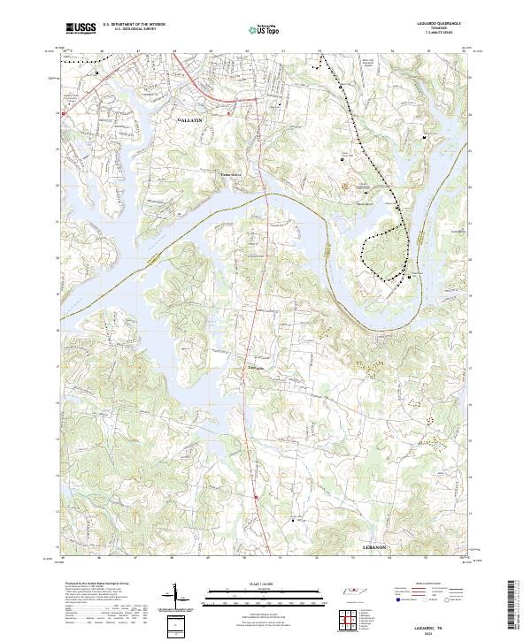
1955 Laguardo
Wilson County, TN
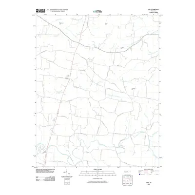
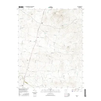
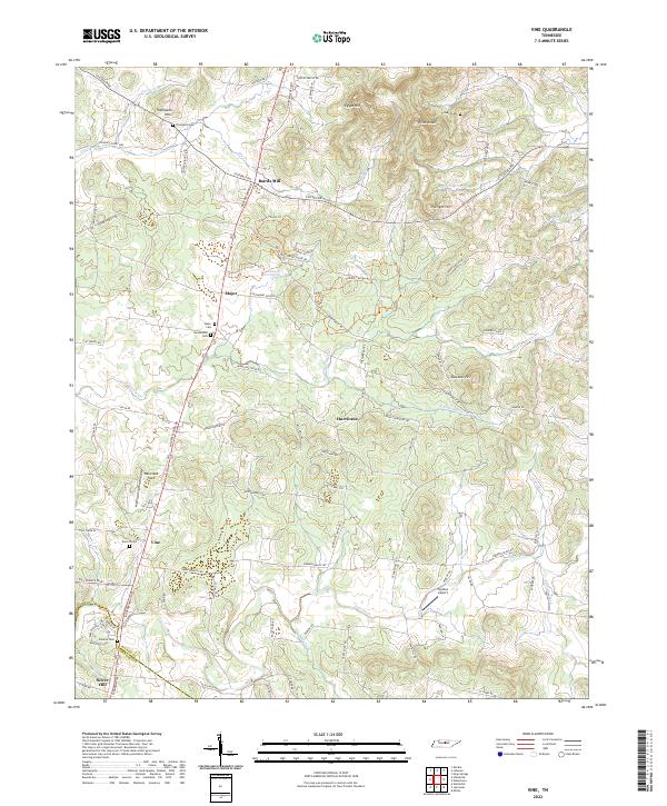
1956 Vine
Wilson County, TN
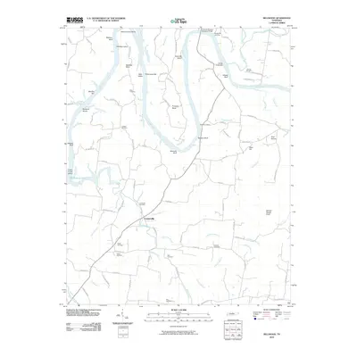
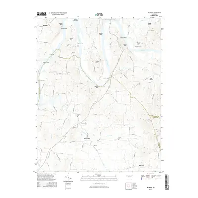
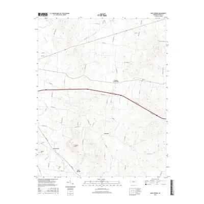
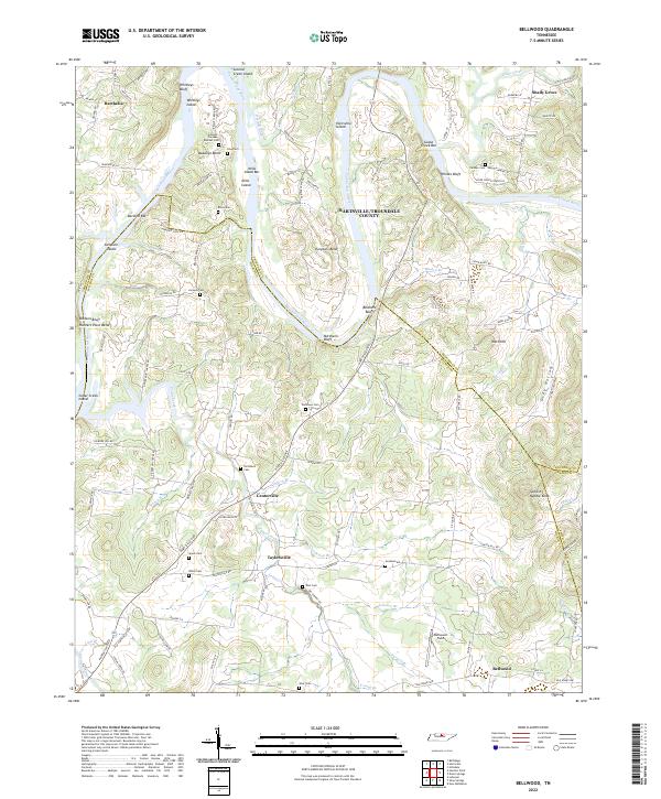
1958 Bellwood
Wilson County, TN
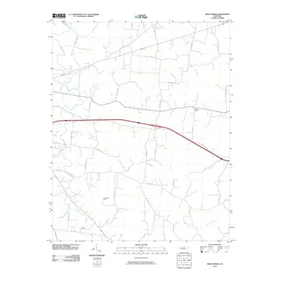
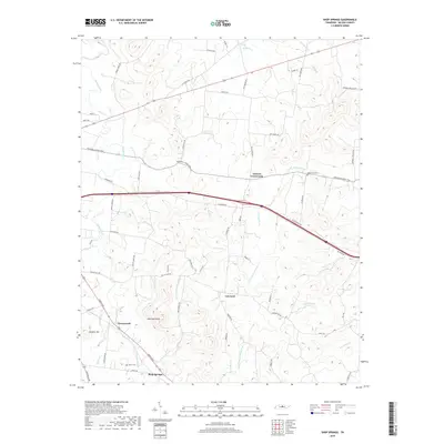
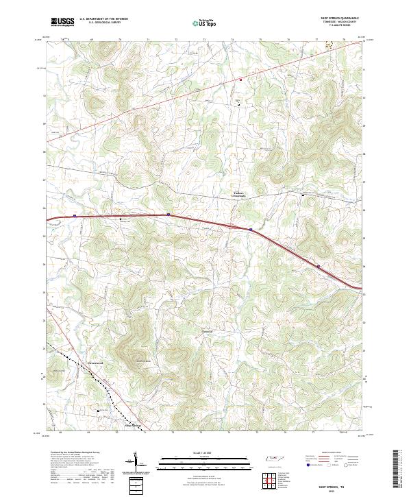
1958 Shop Springs
Wilson County, TN
1994 Bellwood
Wilson County, TN
1994 Hunters Point
Wilson County, TN
1994 Shop Springs
Wilson County, TN
1994 Vine
Wilson County, TN
2010 Bellwood
Wilson County, TN
2010 Hunters Point
Wilson County, TN
2010 Laguardo
Wilson County, TN
2010 Martha
Wilson County, TN
2010 Shop Springs
Wilson County, TN
2010 Vine
Wilson County, TN
2013 Bellwood
Wilson County, TN
2013 Hunters Point
Wilson County, TN
2013 Laguardo
Wilson County, TN
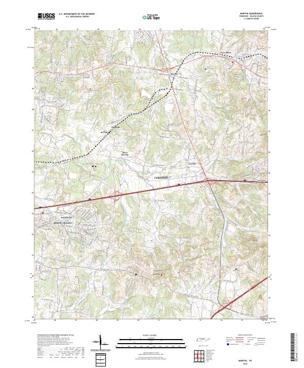
2013 Martha
Wilson County, TN
2013 Shop Springs
Wilson County, TN
2013 Vine
Wilson County, TN
2016 Bellwood
Wilson County, TN
2016 Hunters Point
Wilson County, TN
2016 Laguardo
Wilson County, TN
2016 Martha
Wilson County, TN
2016 Shop Springs
Wilson County, TN
2016 Vine
Wilson County, TN
2019 Bellwood
Wilson County, TN
2019 Hunters Point
Wilson County, TN
2019 Laguardo
Wilson County, TN
2019 Martha
Wilson County, TN
2019 Shop Springs
Wilson County, TN
2019 Vine
Wilson County, TN
2022 Bellwood
Wilson County, TN
2022 Hunters Point
Wilson County, TN
2022 Laguardo
Wilson County, TN
2022 Martha
Wilson County, TN
2022 Shop Springs
Wilson County, TN
2022 Vine
Wilson County, TN