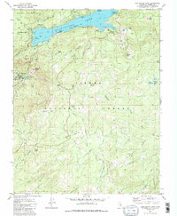
1982 Map of Huntington Lake
USGS Topo · Published 1983About this map
Huntington Lake dominates this high-altitude landscape in the Sierra National Forest, characterized by the massive hydroelectric infrastructure that reshaped the region. Southern California Edison provided the underwater contours for this survey, which documents the reservoir's spillway elevation and the technical network downstream, including the Gate House, Substation, and Powerhouse No 1 at Big Creek.
Find a feature on this map
47 named features on this map. Tap any name to fly to it.
Don’t see what you’re looking for? This feature index may not catch every label — zoom into the map to look around manually.
Map Details
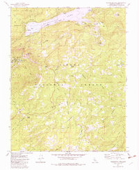
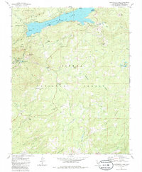
Editions of this 1982 Huntington Lake Map
3 editions found
Other maps of this area

1904 · Kaiser
USGS Topo · 1:125,000

1947 · Mariposa
USGS Topo · 1:250,000

1948 · Mariposa
USGS Topo · 1:250,000

1953 · Huntington Lake
USGS Topo · 1:62,500

1953 · Shaver Lake
USGS Topo · 1:62,500

1953 · Shuteye Peak
USGS Topo · 1:62,500

1953 · Kaiser Peak
USGS Topo · 1:62,500

1957 · Mariposa
USGS Topo · 1:250,000

1963 · Mariposa
USGS Topo · 1:250,000

1980 · Shaver Lake
USGS Topo · 1:100,000