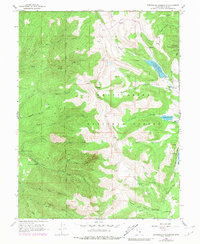
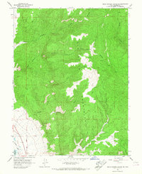
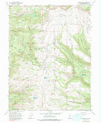
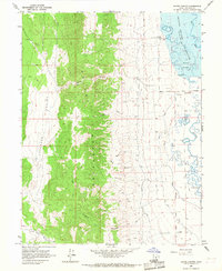
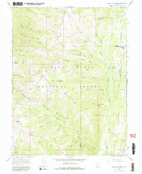
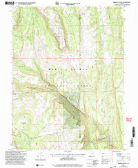
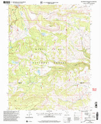
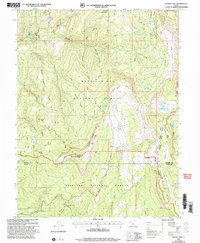
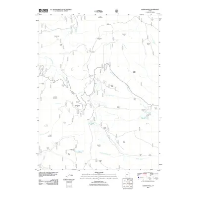
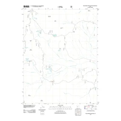
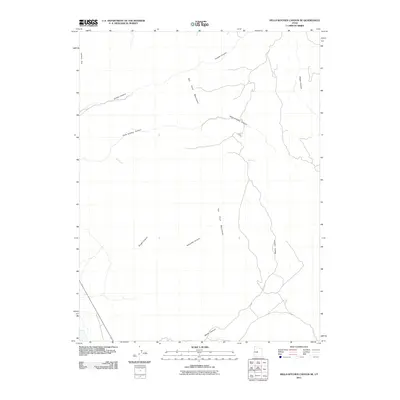
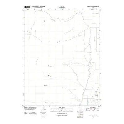
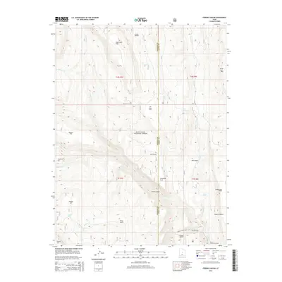
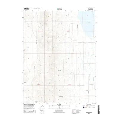
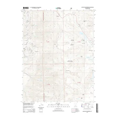
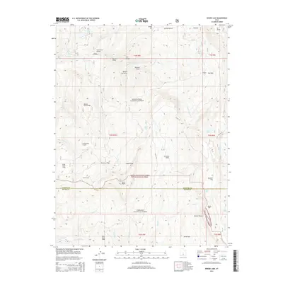
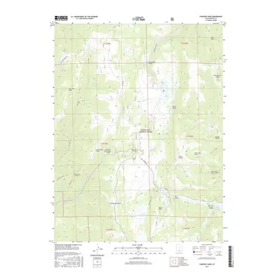
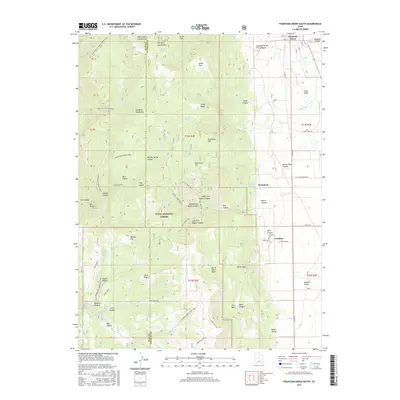
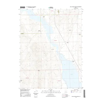
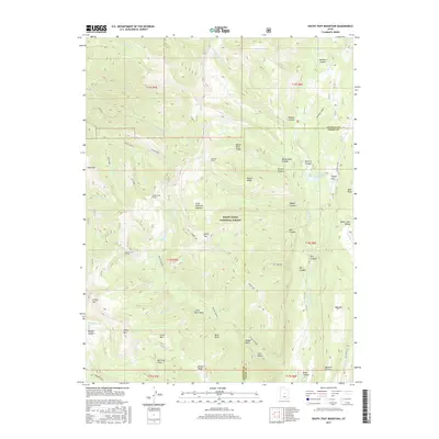
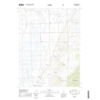
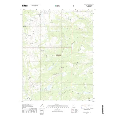
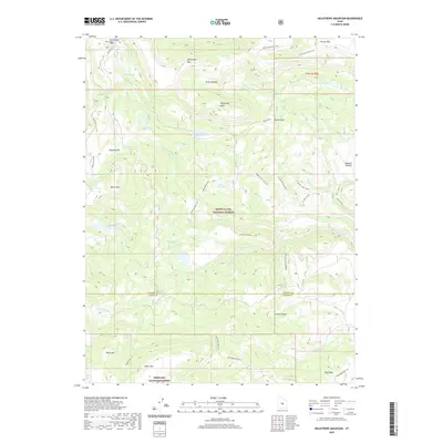
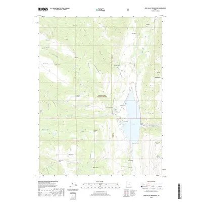
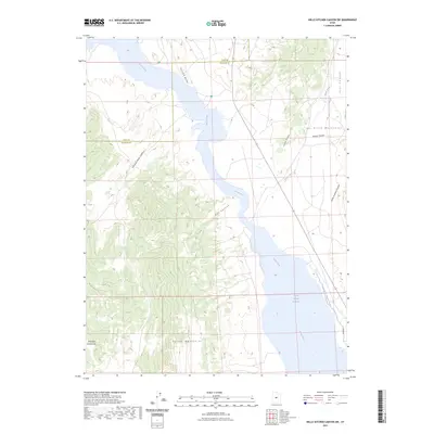
1965 Map of Huntington Reservoir
USGS Topo · Published 1979About this map
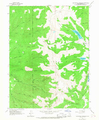
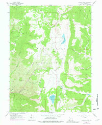
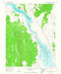
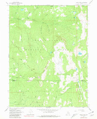
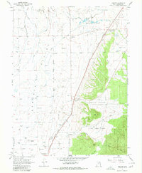
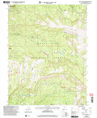
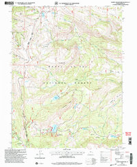
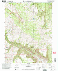
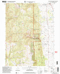
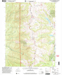
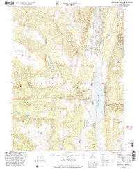
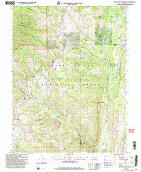
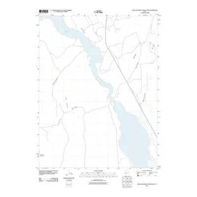
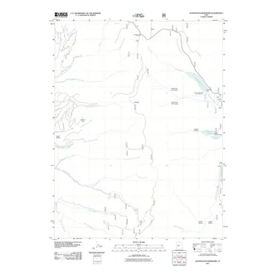
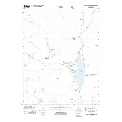
Manti-La Sal National Forest dominates this high-altitude landscape in Sanpete and Emery counties, where mid-1960s infrastructure supports water management and power generation. The Huntington Reservoir and smaller Rolfson Reservoir are central to the region's hydro-logical network, connected by a system of rugged terrain features like Towhead and Pritchett Flat. The presence of the Upper Mt Pleasant Powerplant and Lower Mt Pleasant Powerplant along Pleasant Creek illustrates the integration of natural water sources into the local utility grid. Transportation and utility corridors are established via Skyline Drive and various jeep trails, while an Aqueduct and multiple pipelines trace the movement of resources across the forest's deep canyons, such as Bear Canyon and Jordan Canyon. Research into this era reveals a landscape balancing conservation with active industrial use, evidenced by scattered gas wells and the Lake Guard Station.
Find a feature on this map
40 named features on this map. Tap any name to fly to it.
Don’t see what you’re looking for? This feature index may not catch every label — zoom into the map to look around manually.
Map Details
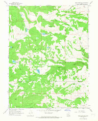
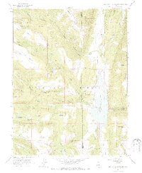
Editions of this 1965 Huntington Reservoir Map
2 editions found
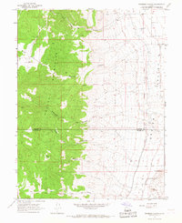
Historical Maps of Skyline Mountain Resort Through Time
123 maps found

1922 Wasatch
Sanpete County, UT
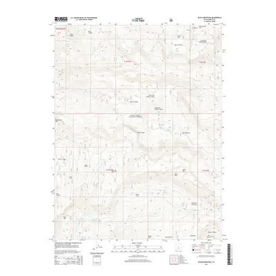
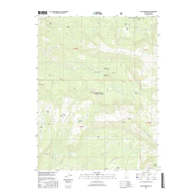
1965 Black Mountain
Sanpete County, UT
1965 Fairview Lakes
Sanpete County, UT
1965 Hells Kitchen Canyon SE
Sanpete County, UT
1965 Hells Kitchen Canyon SW
Sanpete County, UT
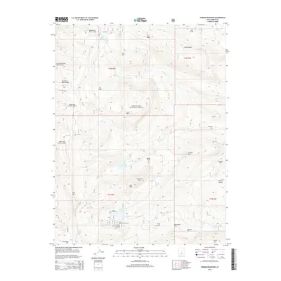
1965 Huntington Reservoir
Sanpete County, UT
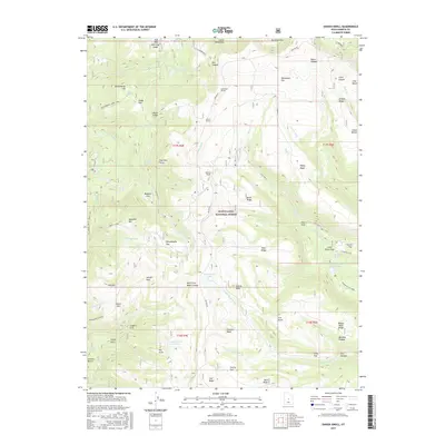
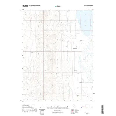
1965 Woods Lake
Sanpete County, UT
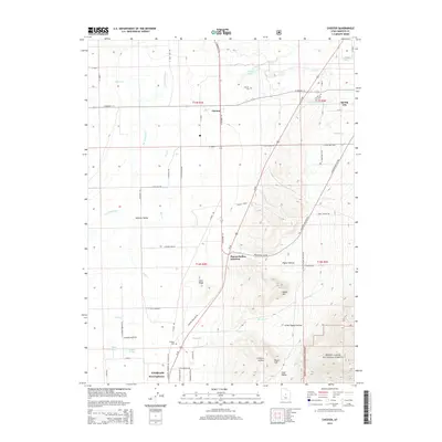
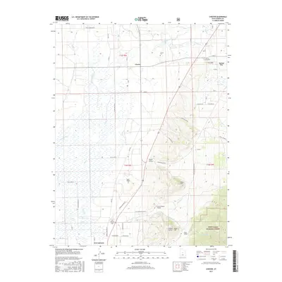
1966 Chester
Sanpete County, UT
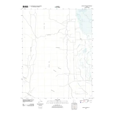
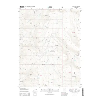
1966 Danish Knoll
Sanpete County, UT
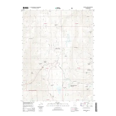
1966 Ferron Canyon
Sanpete County, UT
1966 Ferron Reservoir
Sanpete County, UT
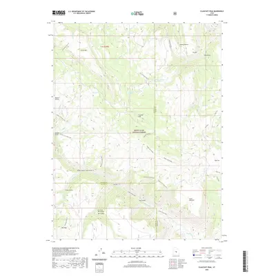
1966 Flagstaff Peak
Sanpete County, UT
1966 Hayes Canyon
Sanpete County, UT
1966 Heliotrope Mtn
Sanpete County, UT
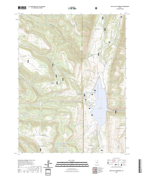
1966 Joes Valley Reservoir
Sanpete County, UT
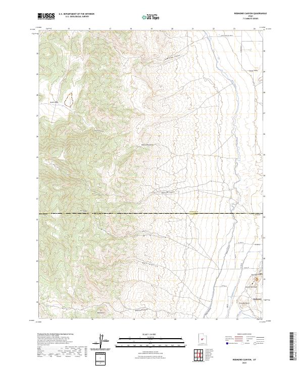
1966 Redmond Canyon
Sanpete County, UT
1966 South Tent Mountain
Sanpete County, UT
1983 Big Hollow
Sanpete County, UT
1983 Fountain Green South
Sanpete County, UT
1983 Moroni Gap
Sanpete County, UT
2001 Black Mountain
Sanpete County, UT
2001 Chester
Sanpete County, UT
2001 Danish Knoll
Sanpete County, UT
2001 Fairview Lakes
Sanpete County, UT
2001 Ferron Canyon
Sanpete County, UT
2001 Ferron Reservoir
Sanpete County, UT
2001 Flagstaff Peak
Sanpete County, UT
2001 Fountain Green South
Sanpete County, UT
2001 Heliotrope Mountain
Sanpete County, UT
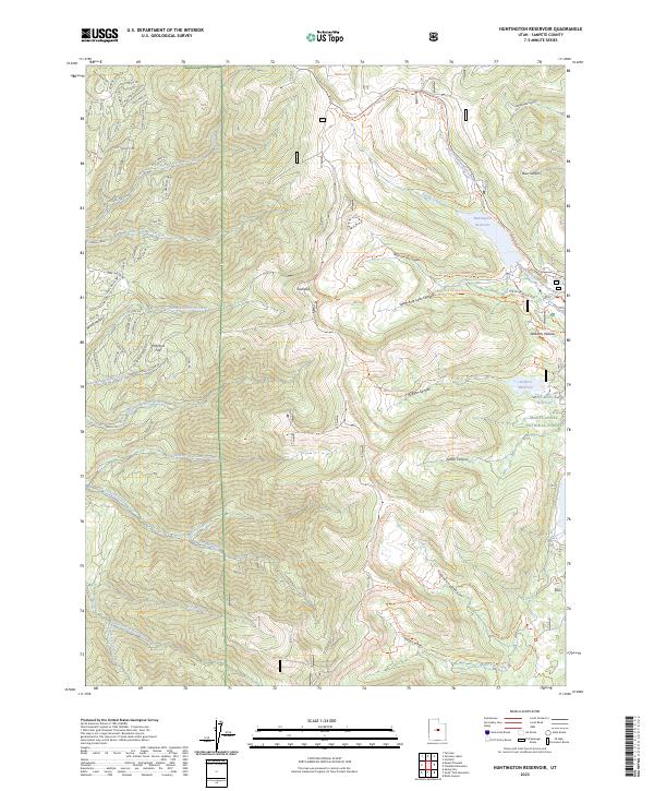
2001 Huntington Reservoir
Sanpete County, UT
2001 Joes Valley Reservoir
Sanpete County, UT
2001 South Tent Mountain
Sanpete County, UT
2001 Woods Lake
Sanpete County, UT
2011 Big Hollow
Sanpete County, UT
2011 Black Mountain
Sanpete County, UT
2011 Chester
Sanpete County, UT
2011 Danish Knoll
Sanpete County, UT
2011 Fairview Lakes
Sanpete County, UT
2011 Ferron Canyon
Sanpete County, UT
2011 Ferron Reservoir
Sanpete County, UT
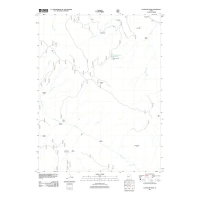
2011 Flagstaff Peak
Sanpete County, UT
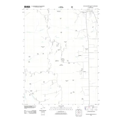
2011 Fountain Green South
Sanpete County, UT
2011 Hayes Canyon
Sanpete County, UT
2011 Heliotrope Mountain
Sanpete County, UT
2011 Hells Kitchen Canyon SE
Sanpete County, UT
2011 Hells Kitchen Canyon SW
Sanpete County, UT
2011 Huntington Reservoir
Sanpete County, UT
2011 Joes Valley Reservoir
Sanpete County, UT
2011 Redmond Canyon
Sanpete County, UT
2011 South Tent Mountain
Sanpete County, UT
2011 Woods Lake
Sanpete County, UT
2014 Big Hollow
Sanpete County, UT
2014 Black Mountain
Sanpete County, UT
2014 Chester
Sanpete County, UT
2014 Danish Knoll
Sanpete County, UT
2014 Fairview Lakes
Sanpete County, UT
2014 Ferron Canyon
Sanpete County, UT
2014 Ferron Reservoir
Sanpete County, UT
2014 Flagstaff Peak
Sanpete County, UT
2014 Fountain Green South
Sanpete County, UT
2014 Hayes Canyon
Sanpete County, UT
2014 Heliotrope Mountain
Sanpete County, UT
2014 Hells Kitchen Canyon SE
Sanpete County, UT
2014 Hells Kitchen Canyon SW
Sanpete County, UT
2014 Huntington Reservoir
Sanpete County, UT
2014 Joes Valley Reservoir
Sanpete County, UT
2014 Redmond Canyon
Sanpete County, UT
2014 South Tent Mountain
Sanpete County, UT
2014 Woods Lake
Sanpete County, UT

2017 Big Hollow
Sanpete County, UT
2017 Black Mountain
Sanpete County, UT
2017 Chester
Sanpete County, UT
2017 Danish Knoll
Sanpete County, UT
2017 Fairview Lakes
Sanpete County, UT
2017 Ferron Canyon
Sanpete County, UT
2017 Ferron Reservoir
Sanpete County, UT
2017 Flagstaff Peak
Sanpete County, UT
2017 Fountain Green South
Sanpete County, UT
2017 Hayes Canyon
Sanpete County, UT
2017 Heliotrope Mountain
Sanpete County, UT
2017 Hells Kitchen Canyon SE
Sanpete County, UT
2017 Hells Kitchen Canyon SW
Sanpete County, UT
2017 Huntington Reservoir
Sanpete County, UT
2017 Joes Valley Reservoir
Sanpete County, UT
2017 Redmond Canyon
Sanpete County, UT
2017 South Tent Mountain
Sanpete County, UT
2017 Woods Lake
Sanpete County, UT
2020 Big Hollow
Sanpete County, UT
2020 Black Mountain
Sanpete County, UT
2020 Chester
Sanpete County, UT
2020 Danish Knoll
Sanpete County, UT
2020 Fairview Lakes
Sanpete County, UT
2020 Ferron Canyon
Sanpete County, UT
2020 Ferron Reservoir
Sanpete County, UT
2020 Flagstaff Peak
Sanpete County, UT
2020 Fountain Green South
Sanpete County, UT
2020 Hayes Canyon
Sanpete County, UT
2020 Heliotrope Mountain
Sanpete County, UT
2020 Hells Kitchen Canyon SE
Sanpete County, UT
2020 Hells Kitchen Canyon SW
Sanpete County, UT
2020 Huntington Reservoir
Sanpete County, UT
2020 Joes Valley Reservoir
Sanpete County, UT
2020 Redmond Canyon
Sanpete County, UT
2020 South Tent Mountain
Sanpete County, UT
2020 Woods Lake
Sanpete County, UT
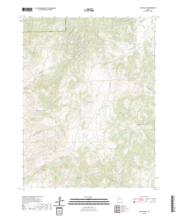
2023 Big Hollow
Sanpete County, UT
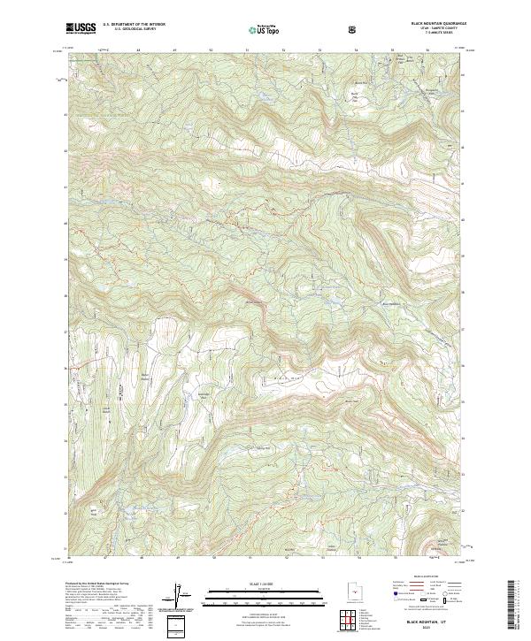
2023 Black Mountain
Sanpete County, UT
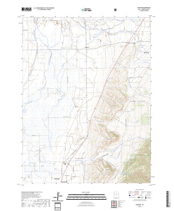
2023 Chester
Sanpete County, UT
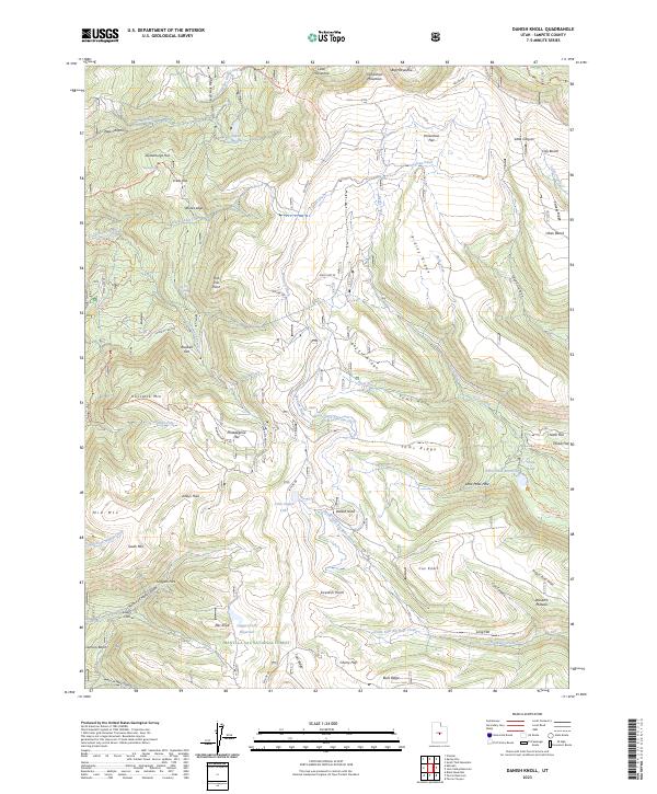
2023 Danish Knoll
Sanpete County, UT
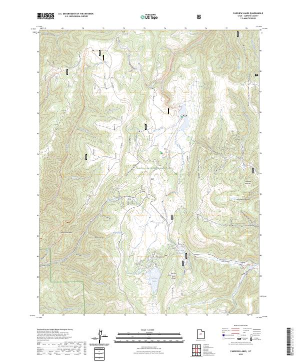
2023 Fairview Lakes
Sanpete County, UT
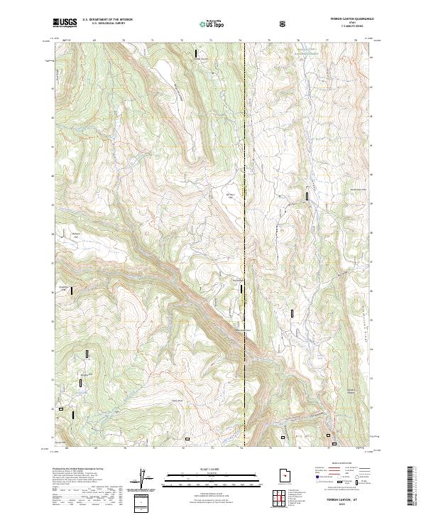
2023 Ferron Canyon
Sanpete County, UT
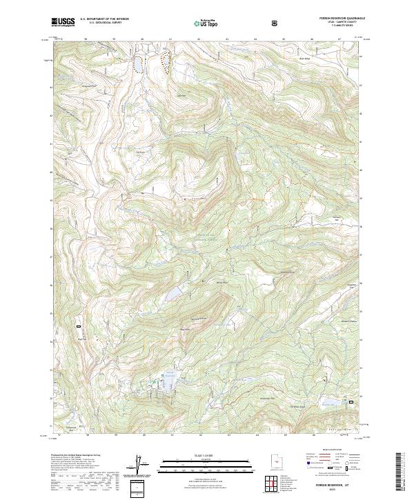
2023 Ferron Reservoir
Sanpete County, UT
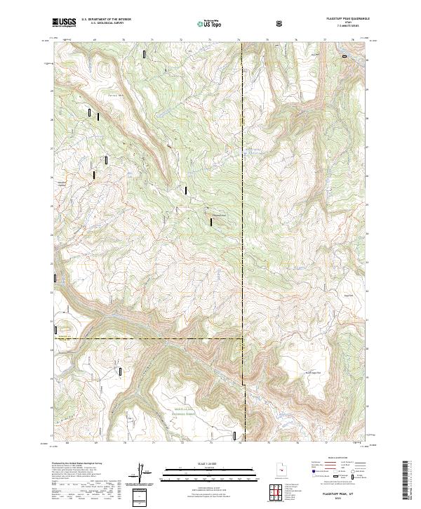
2023 Flagstaff Peak
Sanpete County, UT
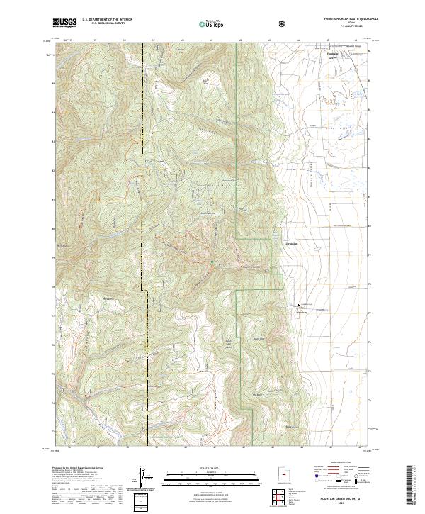
2023 Fountain Green South
Sanpete County, UT
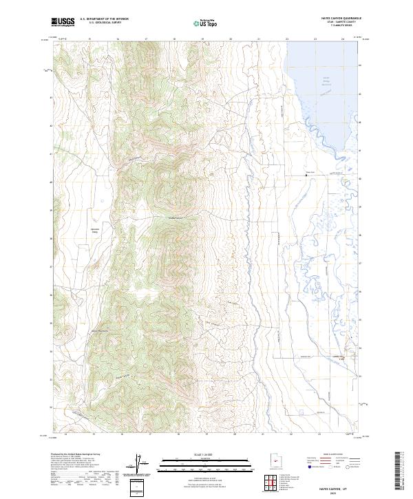
2023 Hayes Canyon
Sanpete County, UT
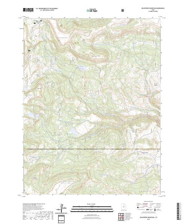
2023 Heliotrope Mountain
Sanpete County, UT
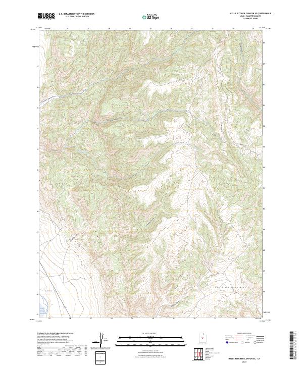
2023 Hells Kitchen Canyon SE
Sanpete County, UT
2023 Hells Kitchen Canyon SW
Sanpete County, UT
2023 Huntington Reservoir
Sanpete County, UT
2023 Joes Valley Reservoir
Sanpete County, UT
2023 Redmond Canyon
Sanpete County, UT
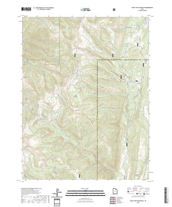
2023 South Tent Mountain
Sanpete County, UT
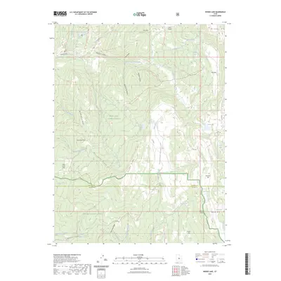
2023 Woods Lake
Sanpete County, UT