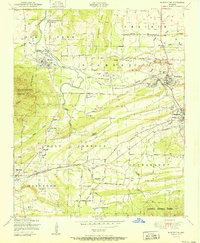
1951 Map of Huntington
USGS Topo · Published 1951About this map
Coal mining operations dominate the landscape of southern Sebastian County in the early 1950s, with Strip mines and numerous numbered workings like No 5 Mine and the Woodson Mine peppering the terrain between Huntington and Hartford. The industrial character is balanced by established rural communities, visible through the presence of the Gooberhull School, Shiloh Church, and Pine Grove Church.
Find a feature on this map
64 named features on this map. Tap any name to fly to it.
Don’t see what you’re looking for? This feature index may not catch every label — zoom into the map to look around manually.
Map Details
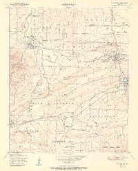
Editions of this 1951 Huntington Map
2 editions found
Other maps of this area

1879 · Poteau Mountain
USGS Topo · 1:62,500

1887 · Poteau Mountain #1
USGS Topo · 1:62,500

1887 · Poteau Mountain #2
USGS Topo · 1:62,500

1887 · Greenwood
USGS Topo · 1:62,500

1890 · Fort Smith
USGS Topo · 1:125,000

1890 · Poteau Mountain
USGS Topo · 1:125,000

1899 · Poteau Mountain
USGS Topo · 1:125,000

1906 · Barber
USGS Topo · 1:62,500

1939 · Waldron
USGS Topo · 1:62,500

1940 · Waldron
USGS Topo · 1:62,500