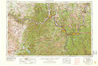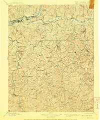
1898 Map of Huntington
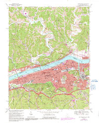
USGS Topo · Published 1908About this map
Huntington stands as the primary hub of this late nineteenth-century landscape, situated where the Ohio River meets the mouths of the Guyandot River and Twelvepole Creek. The map documents a critical era of rail development, showing the Chesapeake and Ohio Railroad following the riverbanks and the Ohio River Railroad pushing northward across the state line. Inland from the river, the terrain is characterized by a dense network of winding creek valleys and prominent peaks like Dolan Knob and Turkey Camp Knob. Many of these valleys host small rural settlements such as Barboursville, Milton, and Lavalette, which served as local centers before the modern expansion of the Tri-State area. The presence of Blue Sulphur Sps suggests the early importance of mineral springs to the local economy and social geography during this period.
Find a feature on this map
167 named features on this map. Tap any name to fly to it.
Don’t see what you’re looking for? This feature index may not catch every label — zoom into the map to look around manually.
Map Details
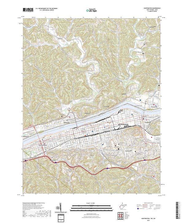
Editions of this 1898 Huntington Map
3 editions found

Historical Maps of Huntington Through Time
9 maps found