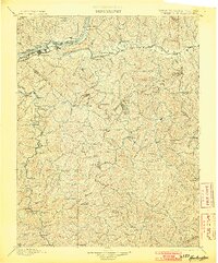
1898 Map of Huntington
USGS Topo · Published 1903About this map
The Ohio River shoreline and the confluence of the Guyandot River define this 1890 survey of the tri-state border region. At the close of the nineteenth century, Huntington stands as the primary urban center, situated along the Chesapeake and Ohio Railroad. The map captures a landscape characterized by steep ridges and winding watercourses, including Twelvepole Cr and the Mud River. Industrial connectivity is evident through the path of the Norfolk and Western Railroad moving through the southwestern corner.
Find a feature on this map
117 named features on this map. Tap any name to fly to it.
Don’t see what you’re looking for? This feature index may not catch every label — zoom into the map to look around manually.
Map Details
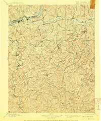
Editions of this 1898 Huntington Map
3 editions found
Other maps of this area

1886 · Prestonsburg
USGS Topo · 1:125,000

1887 · Warfield
USGS Topo · 1:125,000

1891 · Oceana
USGS Topo · 1:125,000

1891 · Warfield
USGS Topo · 1:125,000

1892 · Prestonsburg
USGS Topo · 1:125,000

1892 · Huntington
USGS Topo · 1:125,000

1893 · Oceana
USGS Topo · 1:125,000

1898 · Huntington
USGS Topo · 1:125,000

1898 · Oceana
USGS Topo · 1:125,000

1898 · Ironton
USGS Topo · 1:62,500