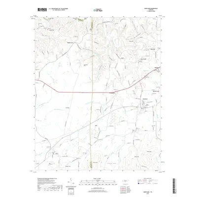
2019 Map of Huntland
USGS Topo · Published 2019About this map
Huntland and its surrounding communities are situated along the boundary where Lincoln and Franklin Counties meet in southern Tennessee. This landscape is defined by the transitions between elevations, where the Stone Dye Hills and Stovall Mtn rise above the drainage of Beans Creek and the Elk River. The area maintains an agricultural and industrial character, most notably at the historic water-powered sites of Falls Mill and Brown Mill near Old Salem.
Find a feature on this map
149 named features on this map. Tap any name to fly to it.
Don’t see what you’re looking for? This feature index may not catch every label — zoom into the map to look around manually.
Map Details
Editions of this 2019 Huntland Map
This is the sole edition of this map. No revisions or reprints were ever made.
Other maps of this area

1888 · Scottsboro
USGS Topo · 1:125,000

1892 · Scottsboro
USGS Topo · 1:125,000

1928 · Decherd
USGS Topo · 1:62,500

1936 · King Cove
USGS Topo · 1:24,000

1936 · Flintville
USGS Topo · 1:24,000

1936 · Beans Creek
USGS Topo · 1:24,000

1936 · Huntland
USGS Topo · 1:24,000

1936 · Belvidere
USGS Topo · 1:24,000
1936 · New Market
USGS Topo · 1:24,000

1936 · Mulberry
USGS Topo · 1:24,000