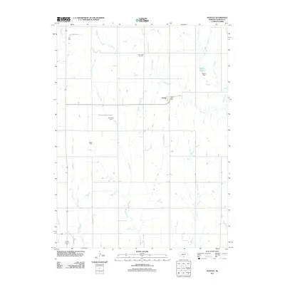
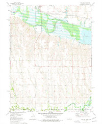
2011 Map of Huntley
USGS Topo · Published 2011About this map
The village of Huntley sits at the intersection of a grid-based rural road network and several winding watercourses in Harlan County. The landscape is defined by its agricultural character and sophisticated water management, featuring numerous family-named landmarks such as Batten Dam, Sall Dam, and Schluntz Dam. These structures support a series of small water bodies including Sall Reservoir, Schluntz Reservoir, and Martindale Reservoir, which punctuate the drainage systems of Turkey Creek, Methodist Creek, and Cook Creek.
Find a feature on this map
21 named features on this map. Tap any name to fly to it.
Don’t see what you’re looking for? This feature index may not catch every label — zoom into the map to look around manually.
Map Details
Editions of this 2011 Huntley Map
This is the sole edition of this map. No revisions or reprints were ever made.
Other maps of this area

1896 · Holdrege
USGS Topo · 1:125,000

1955 · Grand Island
USGS Topo · 1:250,000

1957 · Grand Island
USGS Topo · 1:250,000

1958 · Grand Island
USGS Topo · 1:250,000

1970 · Wilcox
USGS Topo · 1:24,000

1970 · Ragan
USGS Topo · 1:24,000
1970 · Atlanta
USGS Topo · 1:24,000
1973 · Orleans
USGS Topo · 1:24,000
1974 · Republican City
USGS Topo · 1:24,000
1974 · Alma SW
USGS Topo · 1:24,000