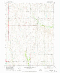
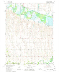
1974 Map of Huntley
USGS Topo · Published 1977About this map
Huntley serves as the primary hub of this south-central Nebraska landscape, situated at a junction where the Burlington Northern railroad meets the winding course of Turkey Creek. The surrounding agricultural terrain is deeply dissected by a network of drainage ways, including Methodist Creek, Rope Creek, and Cook Creek, illustrating the complex hydrology of Harlan County. To the north of the settlement, Bainbridge Cem stands as a significant point for genealogical research, anchoring the local history of the surrounding sections. A distinctive feature of the transportation history here is the Old Grade Railroad, which traces a path through the southern half of the quadrangle, indicating a shifting rail infrastructure in the mid-1970s. Numerous wells are scattered across the uplands, highlighting the reliance on groundwater for the region's farming economy.
Find a feature on this map
12 named features on this map. Tap any name to fly to it.
Don’t see what you’re looking for? This feature index may not catch every label — zoom into the map to look around manually.
Map Details
Editions of this 1974 Huntley Map
This is the sole edition of this map. No revisions or reprints were ever made.
Other maps of this area

1896 · Holdrege
USGS Topo · 1:125,000

1955 · Grand Island
USGS Topo · 1:250,000

1957 · Grand Island
USGS Topo · 1:250,000

1958 · Grand Island
USGS Topo · 1:250,000

1970 · Wilcox
USGS Topo · 1:24,000

1970 · Ragan
USGS Topo · 1:24,000
1970 · Atlanta
USGS Topo · 1:24,000
1973 · Orleans
USGS Topo · 1:24,000
1974 · Republican City
USGS Topo · 1:24,000
1974 · Alma SW
USGS Topo · 1:24,000