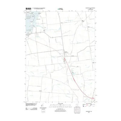
2010 Map of Huntsville
USGS Topo · Published 2010About this map
Huntsville and the surrounding agricultural landscape of Logan County appear in high detail during the early 21st century. The village serves as a central hub, flanked by the smaller settlements of Cherokee and New Richland, with the Huntsville Post Office and Huntsville Cemetery marking the community's core. The northwest corner is defined by the headwaters of the South Fork Great Miami River and the eastern edge of Indian Lake, where a series of named landforms such as Seminole Island, Shawnee Island, and O'Connor Point create a complex shoreline.
Find a feature on this map
73 named features on this map. Tap any name to fly to it.
Don’t see what you’re looking for? This feature index may not catch every label — zoom into the map to look around manually.
Map Details
Editions of this 2010 Huntsville Map
This is the sole edition of this map. No revisions or reprints were ever made.
Other maps of this area

1913 · Alger
USGS Topo · 1:48,000

1913 · Bellefontaine
USGS Topo · 1:48,000

1913 · East Liberty
USGS Topo · 1:62,500

1915 · Alger
USGS Topo · 1:62,500

1915 · Bellefontaine
USGS Topo · 1:62,500

1915 · East Liberty
USGS Topo · 1:62,500

1915 · Kenton
USGS Topo · 1:62,500

1943 · Alger
USGS Topo · 1:62,500

1944 · East Liberty
USGS Topo · 1:62,500

1944 · Kenton
USGS Topo · 1:62,500