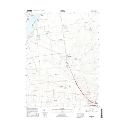
2016 Map of Huntsville
USGS Topo · Published 2016About this map
Indian Lake dominates the northwest corner of this Logan County landscape, where various islands like Shawnee Island and Governors Island sit near the developed shoreline of Indian Dr. The terrain is defined by a dense network of township and county roads that service the agricultural plains between Huntsville and New Richland. The area is notably rich in small family and community burial grounds, providing a significant resource for genealogical research with sites such as Fry Cem, McGraw Cem, and the County Home Cem near the center of the sheet. To the south, the city of Bellefontaine begins to emerge, connected to the northern settlements by the corridor following Bokengehalas Cr. Waterways such as the South Fork Great Miami River and Cherokee Mans Run cut through the grid of sections, dictated by the Public Land Survey System divisions that still organize the local geography.
Find a feature on this map
104 named features on this map. Tap any name to fly to it.
Don’t see what you’re looking for? This feature index may not catch every label — zoom into the map to look around manually.
Map Details
Editions of this 2016 Huntsville Map
This is the sole edition of this map. No revisions or reprints were ever made.
Other maps of this area

1913 · Alger
USGS Topo · 1:48,000

1913 · Bellefontaine
USGS Topo · 1:48,000

1913 · East Liberty
USGS Topo · 1:62,500

1915 · Alger
USGS Topo · 1:62,500

1915 · Bellefontaine
USGS Topo · 1:62,500

1915 · East Liberty
USGS Topo · 1:62,500

1915 · Kenton
USGS Topo · 1:62,500

1943 · Alger
USGS Topo · 1:62,500

1944 · East Liberty
USGS Topo · 1:62,500

1944 · Kenton
USGS Topo · 1:62,500