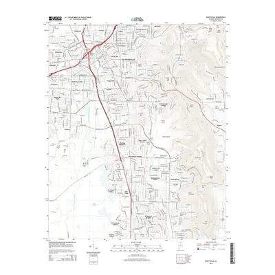
2014 Map of Huntsville
USGS Topo · Published 2014About this map
Huntsville's urban core and eastern mountain reaches are documented in this 2014 survey, highlighting the complex intersection of valley development and the high terrain of Monte Sano Mtn. The map preserves the locations of numerous historic burial grounds that dot the landscape, including the large Maple Hill Cem and smaller family sites like the McDonnell Cem and Grayson Cem. Neighborhoods such as Five Points and Lincoln occupy the flatlands, while newer residential growth like Greenwycke Village and Weatherly Heights climbs the foothills of Garth Mtn and Huntsville Mtn. Hydrological features define the valley floor, from the source at Big Spring to the waters of Pinhook Creek and Huntsville Spring Branch. The eastern edge is dominated by significant elevation changes, featuring geological landmarks such as The Sinks and the steep passage at The Narrows.
Find a feature on this map
98 named features on this map. Tap any name to fly to it.
Don’t see what you’re looking for? This feature index may not catch every label — zoom into the map to look around manually.
Map Details
Editions of this 2014 Huntsville Map
This is the sole edition of this map. No revisions or reprints were ever made.
Other maps of this area

1888 · Scottsboro
USGS Topo · 1:125,000

1888 · Huntsville
USGS Topo · 1:125,000

1892 · Huntsville
USGS Topo · 1:125,000

1892 · Scottsboro
USGS Topo · 1:125,000

1936 · Jeff
USGS Topo · 1:24,000

1936 · Triana
USGS Topo · 1:24,000

1936 · New Hope
USGS Topo · 1:24,000

1936 · Madison
USGS Topo · 1:24,000

1936 · Meridianville
USGS Topo · 1:24,000

1936 · Moontown
USGS Topo · 1:24,000
Featured Places
- Huntsville, AL
- Bucks Canyon, Huntsville
- Forest Park, Huntsville
- Bluewood Estates, Huntsville
- Huntsville Park, Huntsville