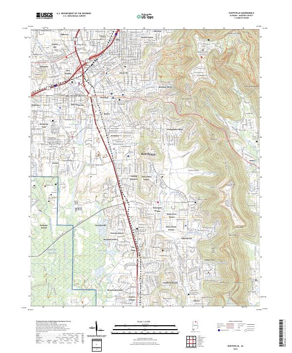
2024 Map of Huntsville
USGS Topo · Published 2024About this map
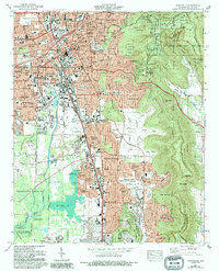
Monte Sano Mtn towers over the eastern edge of this modern Alabama landscape, where dense suburban growth meets the limestone slopes of the Cumberland Plateau. The urban core of Huntsville is anchored by the Madison County Courthouse, with industrial and commercial corridors radiating out along Memorial Pkwy SW. To the southwest, the secure boundaries of Redstone Arsenal border the Wheeler National Wildlife Refuge, marking a sharp transition from the city’s residential developments to protected wetlands and federal facilities.
Find a feature on this map
149 named features on this map. Tap any name to fly to it.
Don’t see what you’re looking for? This feature index may not catch every label — zoom into the map to look around manually.
Map Details
Editions of this 2024 Huntsville Map
This is the sole edition of this map. No revisions or reprints were ever made.
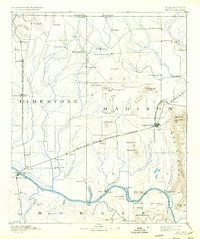
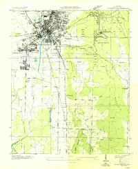
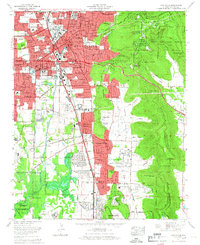
Historical Maps of Union Park Through Time
9 maps found


Featured Locations
- Huntsville, AL
- Bucks Canyon, Huntsville
- Camelot, Huntsville
- Forest Park, Huntsville
- Oak Park, Huntsville