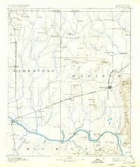
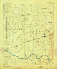
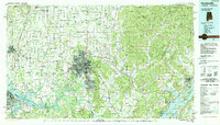
1892 Map of Huntsville
USGS Topo · Published 1934About this map
Huntsville and the Tennessee River valley serve as the centerpiece of this late 19th-century survey, revealing a landscape defined by its river crossings and early industrial mills. The topography is dominated by the dramatic rise of Monte Sano to the east, where the Monte Sano Hotel and Logan Pt overlook the city. Down on the river plain, transportation relies on a network of river crossings including Whitesburg Ferry, Leman Ferry, and Draper Ferry, connecting the farming communities of Madison and Morgan counties before the era of modern bridges.
Find a feature on this map
93 named features on this map. Tap any name to fly to it.
Don’t see what you’re looking for? This feature index may not catch every label — zoom into the map to look around manually.
Map Details
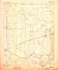
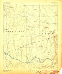
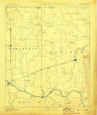
Editions of this 1892 Huntsville Map
6 editions found

Historical Maps of Huntsville Through Time
14 maps found

1888 Huntsville
Madison County, AL
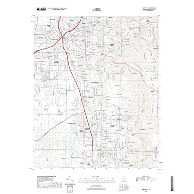
1892 Huntsville
Madison County, AL
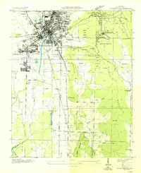
1936 Huntsville
Madison County, AL

1948 Huntsville
Madison County, AL

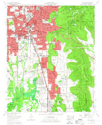
1950 Huntsville
Madison County, AL
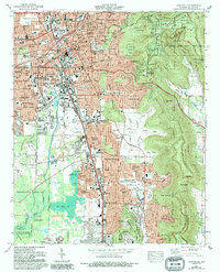
1964 Huntsville
Madison County, AL
1975 Huntsville
Madison County, AL
1984 Huntsville
Madison County, AL
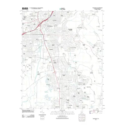
2011 Huntsville
Madison County, AL
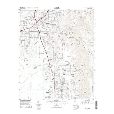
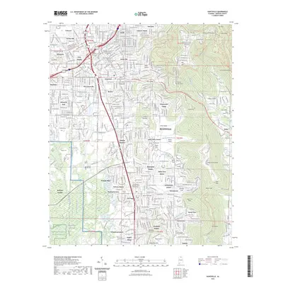
2014 Huntsville
Madison County, AL
2018 Huntsville
Madison County, AL
2020 Huntsville
Madison County, AL
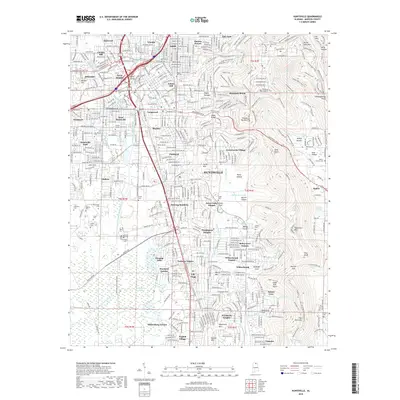
2023 Huntsville
Madison County, AL
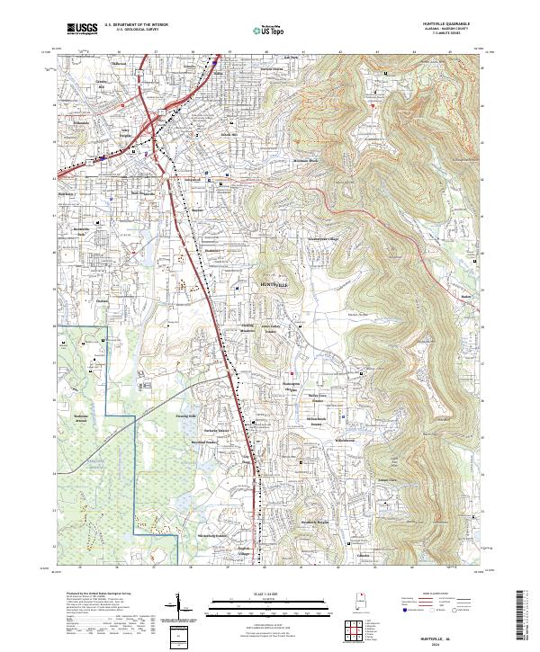
2024 Huntsville
Madison County, AL