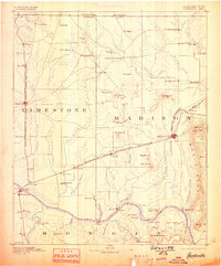
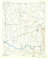
1892 Map of Huntsville
USGS Topo · Published 1898About this map
Huntsville and Athens anchor this late-19th-century landscape, defined by the convergence of major rail lines and the wide arc of the Tennessee River. The Memphis and Charleston Railroad cuts east-west through the heart of Madison County, connecting small stops like Greenbrier and Madison to the growing urban centers. Along the river, a series of ferries such as the Whitesburg Ferry, Leman Ferry, and Draper Ferry provide essential passage between Limestone and Morgan counties, marking a time before the construction of modern bridges.
Find a feature on this map
96 named features on this map. Tap any name to fly to it.
Don’t see what you’re looking for? This feature index may not catch every label — zoom into the map to look around manually.
Map Details
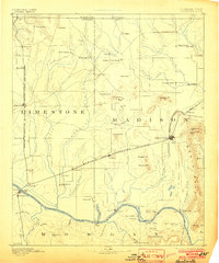
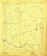
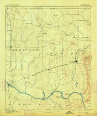
Editions of this 1892 Huntsville Map
6 editions found
Other maps of this area

1885 · Gadsden
USGS Topo · 1:125,000

1888 · Cullman
USGS Topo · 1:125,000

1888 · Gadsden
USGS Topo · 1:125,000

1888 · Scottsboro
USGS Topo · 1:125,000

1888 · Huntsville
USGS Topo · 1:125,000

1892 · Cullman
USGS Topo · 1:125,000

1892 · Huntsville
USGS Topo · 1:125,000

1892 · Scottsboro
USGS Topo · 1:125,000

1892 · Gadsden
USGS Topo · 1:125,000

1895 · Gadsden
USGS Topo · 1:125,000