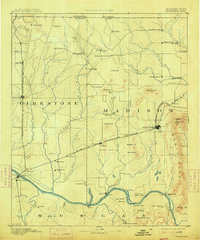
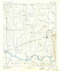
1892 Map of Huntsville
USGS Topo · Published 1914About this map
Huntsville and the surrounding Tennessee Valley landscape are captured here based on surveys from the mid-1880s. This period shows North Alabama as a critical rail hub, where the Memphis and Charleston Railroad intersects with the Nashville Chattanooga and St. Louis R. R. and the Nashville and Decatur Division of Louisville and Nashville Railroad. The landscape is dotted with early milling sites like Thompson Mill, Moore Mill, and Hays Mill, reflecting the agricultural economy of the era.
Find a feature on this map
94 named features on this map. Tap any name to fly to it.
Don’t see what you’re looking for? This feature index may not catch every label — zoom into the map to look around manually.
Map Details
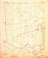
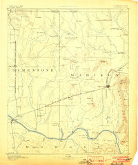
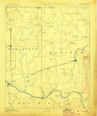
Editions of this 1892 Huntsville Map
6 editions found
Other maps of this area

1885 · Gadsden
USGS Topo · 1:125,000

1888 · Cullman
USGS Topo · 1:125,000

1888 · Gadsden
USGS Topo · 1:125,000

1888 · Scottsboro
USGS Topo · 1:125,000

1888 · Huntsville
USGS Topo · 1:125,000

1892 · Cullman
USGS Topo · 1:125,000

1892 · Huntsville
USGS Topo · 1:125,000

1892 · Scottsboro
USGS Topo · 1:125,000

1892 · Gadsden
USGS Topo · 1:125,000

1895 · Gadsden
USGS Topo · 1:125,000