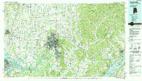
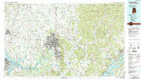
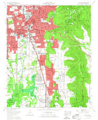
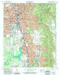
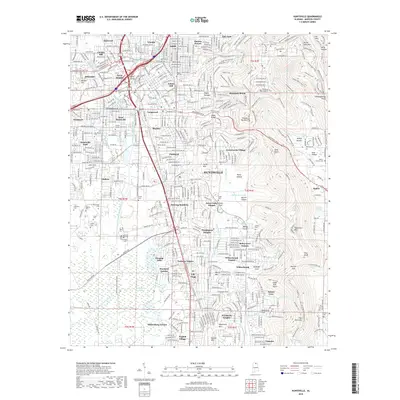
1984 Map of Huntsville
USGS Topo · Published 1988About this map
The Tennessee River snakes across this northern Alabama landscape, anchoring a region of rapid aerospace and agricultural development during the 1980s. Huntsville dominates the center of the map, flanked by the sprawling grounds of the Redstone Arsenal and the prominent heights of Monte Sano Mountain. This era captures the city's growth alongside its academic and scientific hubs, including Alabama A & M University. To the east, the terrain shifts dramatically as the Cumberland Plateau rises, deeply dissected by the Paint Rock River valley.
Find a feature on this map
118 named features on this map. Tap any name to fly to it.
Don’t see what you’re looking for? This feature index may not catch every label — zoom into the map to look around manually.
Map Details
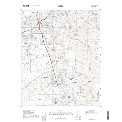
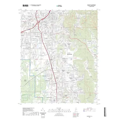
Editions of this 1984 Huntsville Map
3 editions found

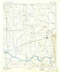
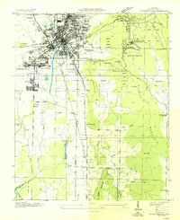
Historical Maps of Huntsville Through Time
14 maps found

1888 Huntsville
Madison County, AL
1892 Huntsville
Madison County, AL
1936 Huntsville
Madison County, AL

1948 Huntsville
Madison County, AL

1950 Huntsville
Madison County, AL
1964 Huntsville
Madison County, AL
1975 Huntsville
Madison County, AL
1984 Huntsville
Madison County, AL
2011 Huntsville
Madison County, AL
2014 Huntsville
Madison County, AL
2018 Huntsville
Madison County, AL
2020 Huntsville
Madison County, AL
2023 Huntsville
Madison County, AL
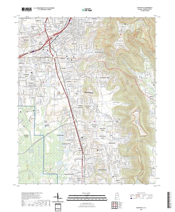
2024 Huntsville
Madison County, AL