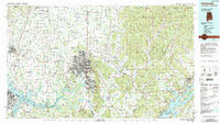
1984 Map of Huntsville
USGS Topo · Published 1988About this map
The Tennessee River corridor anchors this 1980s-era study, winding past the sprawling Redstone Arsenal and through the vast Wheeler National Wildlife Refuge. While Huntsville shows significant urban expansion, the map clearly delineates the sharp transition from the valley floor to the soaring heights of the Cumberland Plateau in the east. The landscape is a mix of high-tech defense sites and deep-rooted agricultural communities like Meridianville and New Market.
Find a feature on this map
84 named features on this map. Tap any name to fly to it.
Don’t see what you’re looking for? This feature index may not catch every label — zoom into the map to look around manually.
Map Details
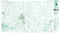
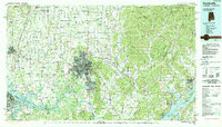
Editions of this 1984 Huntsville Map
3 editions found
Other maps of this area

1885 · Gadsden
USGS Topo · 1:125,000

1886 · Stevenson
USGS Topo · 1:125,000

1888 · Cullman
USGS Topo · 1:125,000

1888 · Gadsden
USGS Topo · 1:125,000

1888 · Scottsboro
USGS Topo · 1:125,000

1888 · Huntsville
USGS Topo · 1:125,000

1892 · Cullman
USGS Topo · 1:125,000

1892 · Huntsville
USGS Topo · 1:125,000

1892 · Scottsboro
USGS Topo · 1:125,000

1892 · Stevenson
USGS Topo · 1:125,000