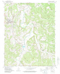
1973 Map of Huntsville
USGS Topo · Published 1989About this map
Huntsville serves as the central hub of this Madison County landscape, where the town's growth is marked by its Hospital, Radio Tower, and Filtration Plant. The terrain is defined by the winding course of War Eagle Creek and its many tributaries, including Holman Creek and Wharton Creek, which carve through the high ground of Carlock Mountain and Big Sandy Mountain. To the south, the settlement of Aurora sits near the confluence of several branches, anchored by the Aurora Church and Aurora Cemetery.
Find a feature on this map
34 named features on this map. Tap any name to fly to it.
Don’t see what you’re looking for? This feature index may not catch every label — zoom into the map to look around manually.
Map Details
Editions of this 1973 Huntsville Map
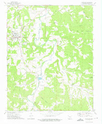
2 editions found
Other maps of this area

1900 · Eureka Springs
USGS Topo · 1:125,000

1901 · Eureka Springs
USGS Topo · 1:125,000

1943 · St. Paul
USGS Topo · 1:62,500

1945 · Harrison
USGS Topo · 1:250,000

1946 · St. Paul
USGS Topo · 1:62,500

1949 · Harrison
USGS Topo · 1:250,000

1954 · Harrison
USGS Topo · 1:250,000

1956 · Russellville
USGS Topo · 1:250,000

1958 · Hindsville
USGS Topo · 1:24,000

1958 · Harrison
USGS Topo · 1:250,000