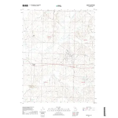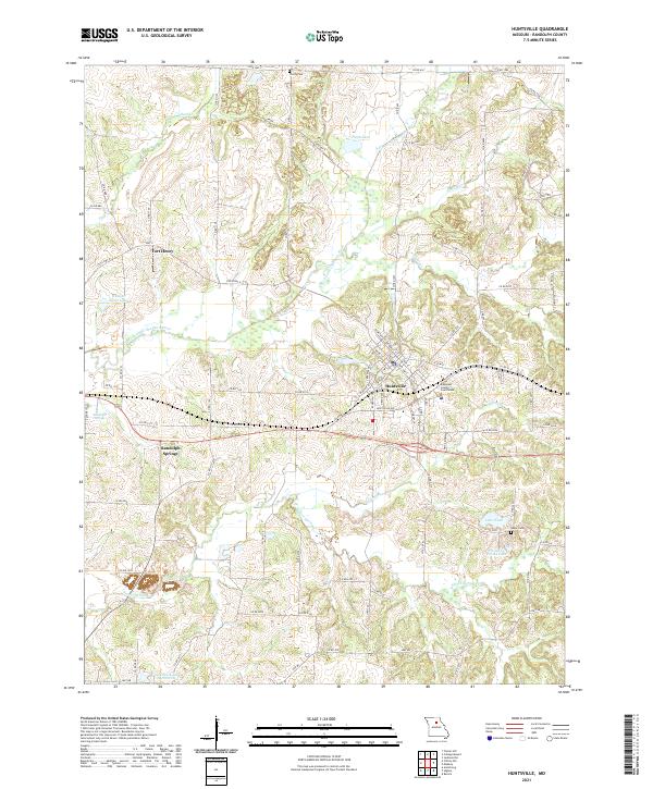
2021 Map of Huntsville
USGS Topo · Published 2021About this map
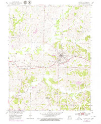
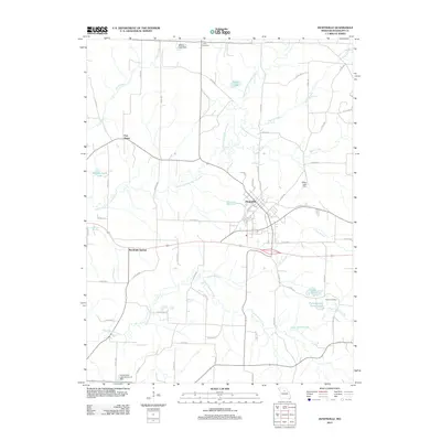
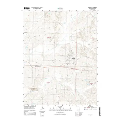
Huntsville serves as the focal point of this Randolph County survey, situated at a nexus of drainage basins where the E Fork Little Chariton River and its numerous tributaries like Sugar Cr and Dark Cr carve through the central Missouri landscape. The town plan is anchored by the Randolph County Courthouse, reflecting its role as a regional seat of government. To the west, the settlement of Randolph Springs and the site of Fort Henry suggest earlier patterns of mineral water tourism and frontier positioning.
Find a feature on this map
89 named features on this map. Tap any name to fly to it.
Don’t see what you’re looking for? This feature index may not catch every label — zoom into the map to look around manually.
Map Details
Editions of this 2021 Huntsville Map
This is the sole edition of this map. No revisions or reprints were ever made.
Historical Maps of Huntsville Through Time
6 maps found