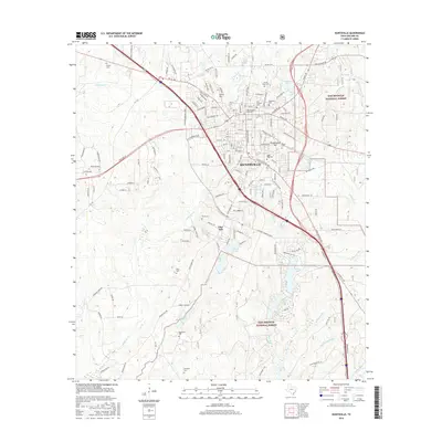
2016 Map of Huntsville
USGS Topo · Published 2016About this map
Huntsville serves as the focal point of this Walker County survey, showing the expansion of the city around the campus of Sam Houston State University. The landscape is a mix of dense residential blocks and significant civic sites, including the Sam Houston Grave and the sprawling grounds of Oakwood Cemetery. The city’s institutional history is further evidenced by the Prison Cemetery and South Side Cemetery, while outlying areas like Smith Hill and Pine Hill maintain a more rural character.
Find a feature on this map
167 named features on this map. Tap any name to fly to it.
Don’t see what you’re looking for? This feature index may not catch every label — zoom into the map to look around manually.
Map Details
Editions of this 2016 Huntsville Map
This is the sole edition of this map. No revisions or reprints were ever made.
Other maps of this area

1954 · Beaumont
USGS Topo · 1:250,000

1957 · Beaumont
USGS Topo · 1:250,000

1959 · Moore Grove
USGS Topo · 1:24,000

1959 · San Jacinto
USGS Topo · 1:24,000

1960 · New Waverly
USGS Topo · 1:24,000

1960 · Phelps
USGS Topo · 1:24,000

1961 · Riverside
USGS Topo · 1:24,000

1962 · Pine Prairie
USGS Topo · 1:24,000

1962 · Galilee
USGS Topo · 1:24,000

1963 · Crabbs Prairie
USGS Topo · 1:24,000