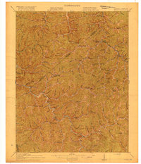
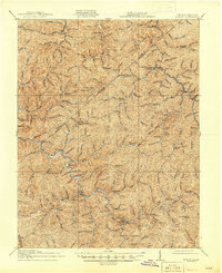
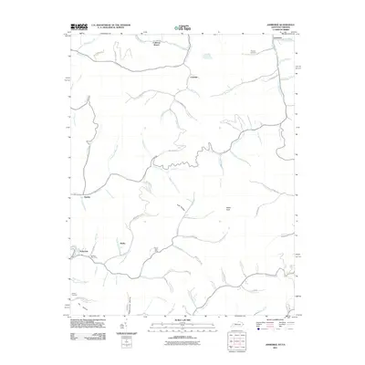
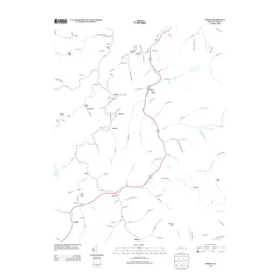
1917 Map of Hurley
USGS Topo · Published 1917About this map
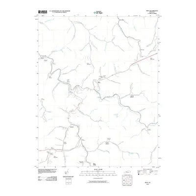
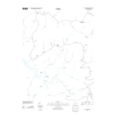
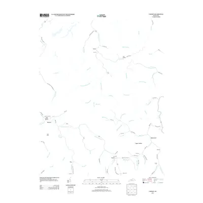
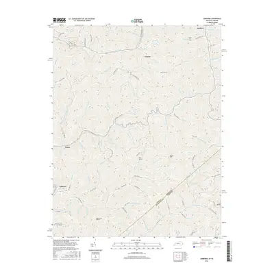
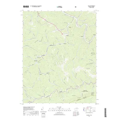
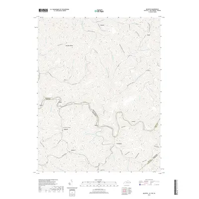
Levisa Fork cuts a deep, winding path through the borderlands of Pike County and Buchanan County, defining the settlement patterns of this central Appalachian landscape. Surveyed just before the late 1910s, the map reveals a remote geography of hollows and ridges where life centered on small post offices and mountain schools. Rural commerce is anchored by hubs like Pawpaw PO and Kelsa PO, while the presence of Middle Elk Sta suggests the early rail infrastructure penetrating the valleys. The density of educational sites, such as Bull Creek School, Conoway School, and Upper Elk School, provides a valuable record of early 20th-century community locations. Notable terrain features like Sulphur Knob and Hylton Knob rise above a complex network of branches and forks, including Johns Creek and Slate Creek, which dictated the routes of the era's primitive roads.
Find a feature on this map
92 named features on this map. Tap any name to fly to it.
Don’t see what you’re looking for? This feature index may not catch every label — zoom into the map to look around manually.
Map Details
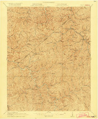
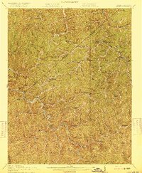
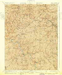
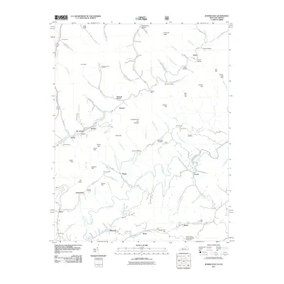
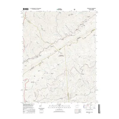
Editions of this 1917 Hurley Map
5 editions found
Historical Maps of Grundy Through Time
72 maps found

1914 Vergie
Pike County, KY

1915 Regina
Pike County, KY

1917 Regina
Pike County, KY

1954 Broad Bottom
Pike County, KY

1954 Dorton
Pike County, KY

1954 Hellier
Pike County, KY

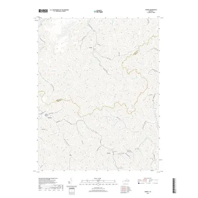
1954 Jamboree
Pike County, KY

1954 Lick Creek
Pike County, KY

1954 Meta
Pike County, KY

1954 Millard
Pike County, KY

1954 Varney
Pike County, KY

1963 Jamboree
Pike County, KY

1978 Lick Creek
Pike County, KY

1978 Meta
Pike County, KY

1978 Millard
Pike County, KY

1979 Broad Bottom
Pike County, KY

1992 Broad Bottom
Pike County, KY

1992 Dorton
Pike County, KY

1992 Jenkins East
Pike County, KY

1992 Meta
Pike County, KY

1992 Varney
Pike County, KY

2001 Majestic
Pike County, KY
2010 Broad Bottom
Pike County, KY
2010 Dorton
Pike County, KY
2010 Lick Creek
Pike County, KY
2010 Meta
Pike County, KY
2010 Millard
Pike County, KY
2010 Varney
Pike County, KY
2011 Hellier
Pike County, KY
2011 Jamboree
Pike County, KY
2011 Jenkins East
Pike County, KY
2011 Majestic
Pike County, KY
2013 Broad Bottom
Pike County, KY
2013 Dorton
Pike County, KY
2013 Hellier
Pike County, KY
2013 Jamboree
Pike County, KY
2013 Jenkins East
Pike County, KY
2013 Lick Creek
Pike County, KY
2013 Majestic
Pike County, KY
2013 Meta
Pike County, KY
2013 Millard
Pike County, KY
2013 Varney
Pike County, KY
2016 Broad Bottom
Pike County, KY
2016 Dorton
Pike County, KY
2016 Hellier
Pike County, KY
2016 Jamboree
Pike County, KY
2016 Jenkins East
Pike County, KY
2016 Lick Creek
Pike County, KY
2016 Majestic
Pike County, KY
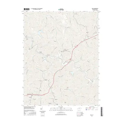
2016 Meta
Pike County, KY

2016 Millard
Pike County, KY
2016 Varney
Pike County, KY
2019 Broad Bottom
Pike County, KY
2019 Dorton
Pike County, KY
2019 Hellier
Pike County, KY
2019 Jamboree
Pike County, KY
2019 Jenkins East
Pike County, KY
2019 Lick Creek
Pike County, KY
2019 Majestic
Pike County, KY
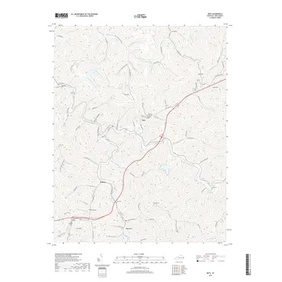
2019 Meta
Pike County, KY
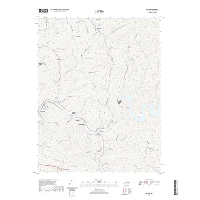
2019 Millard
Pike County, KY
2019 Varney
Pike County, KY

2022 Broad Bottom
Pike County, KY
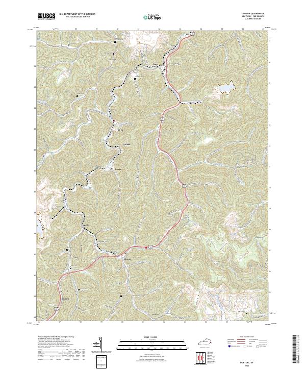
2022 Dorton
Pike County, KY
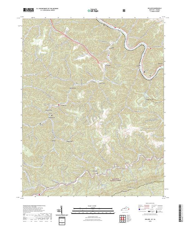
2022 Hellier
Pike County, KY

2022 Jamboree
Pike County, KY
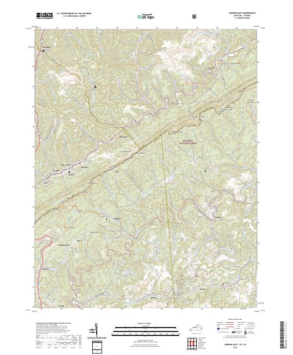
2022 Jenkins East
Pike County, KY

2022 Lick Creek
Pike County, KY

2022 Majestic
Pike County, KY

2022 Meta
Pike County, KY

2022 Millard
Pike County, KY

2022 Varney
Pike County, KY