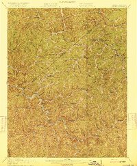
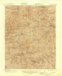
1917 Map of Hurley
USGS Topo · Published 1917About this map
Grundy serves as a primary anchor in this 1917 survey of the borderlands where the Kentucky-Virginia state line meets the jagged divide between Pike and Buchanan counties. The landscape is defined by an intricate network of deep hollows and narrow ridges, where life centered on the forks of the Sandy River and Hurricane Creek. Small mountain communities and post offices like Hurley, Jamboree, and Kelsa PO appear as vital nodes of communication and trade in this era of transition.
Find a feature on this map
86 named features on this map. Tap any name to fly to it.
Don’t see what you’re looking for? This feature index may not catch every label — zoom into the map to look around manually.
Map Details
Editions of this 1917 Hurley Map
5 editions found
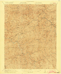
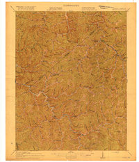
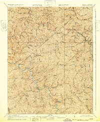
Other maps of this area

1886 · Grundy
USGS Topo · 1:125,000

1887 · Warfield
USGS Topo · 1:125,000

1890 · Grundy
USGS Topo · 1:125,000

1891 · Tazewell
USGS Topo · 1:125,000

1891 · Oceana
USGS Topo · 1:125,000

1891 · Warfield
USGS Topo · 1:125,000

1892 · Grundy
USGS Topo · 1:125,000

1893 · Oceana
USGS Topo · 1:125,000

1895 · Tazewell
USGS Topo · 1:125,000

1897 · Tazewell
USGS Topo · 1:125,000