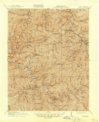
1917 Map of Hurley
USGS Topo · Published 1945About this map
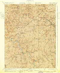
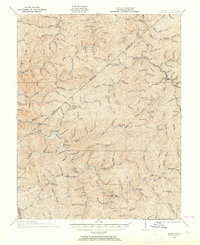
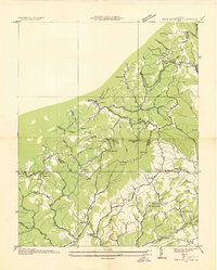
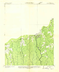
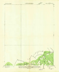
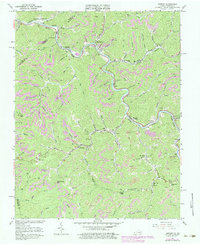
Grundy and the surrounding coal-country settlements of the Appalachian Plateau are captured in this mid-1910s survey, published just before the end of World War II. The landscape is defined by a dense network of mountain hollows and the winding course of the Levisa Fork. The map documents a strictly rural social infrastructure of the era, where isolated communities relied on numerous local institutions like the Looney Creek School, Bull Creek School, and Pawpaw School.
Find a feature on this map
68 named features on this map. Tap any name to fly to it.
Don’t see what you’re looking for? This feature index may not catch every label — zoom into the map to look around manually.
Map Details
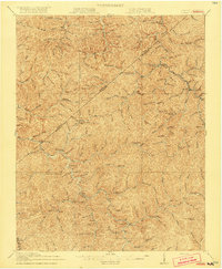
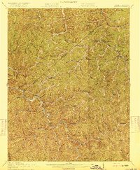
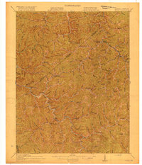
Editions of this 1917 Hurley Map
5 editions found
Historical Maps of Grundy Through Time
22 maps found

1914 Bucu
Buchanan County, VA

1914 Hurley
Buchanan County, VA
1915 Hurley
Buchanan County, VA

1916 Bucu
Buchanan County, VA
1917 Hurley
Buchanan County, VA
1935 Big A Mountain
Buchanan County, VA
1935 Jewell
Buchanan County, VA
1935 Pistol Gap
Buchanan County, VA
1954 Harman
Buchanan County, VA
1954 Hurley
Buchanan County, VA
1958 Big A Mountain
Buchanan County, VA
1963 Harman
Buchanan County, VA
1963 Hurley
Buchanan County, VA
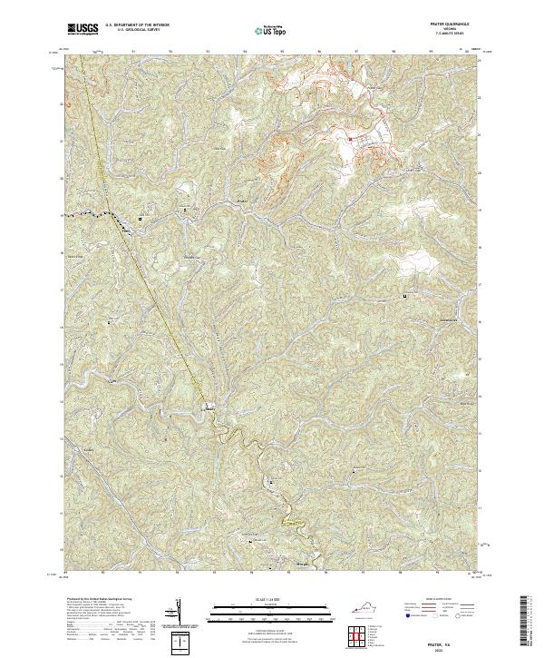
1963 Prater
Buchanan County, VA
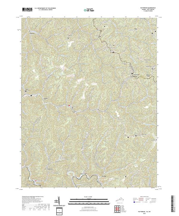
1964 Patterson
Buchanan County, VA
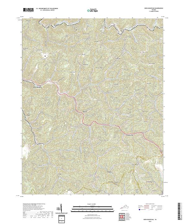
1968 Keen Mountain
Buchanan County, VA
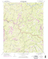
2022 Big A Mountain
Buchanan County, VA
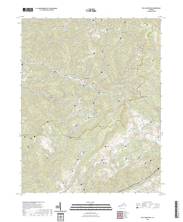
2022 Harman
Buchanan County, VA
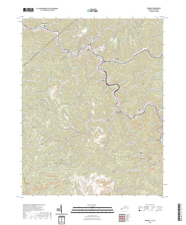
2022 Hurley
Buchanan County, VA
2022 Keen Mountain
Buchanan County, VA
2022 Patterson
Buchanan County, VA
2022 Prater
Buchanan County, VA