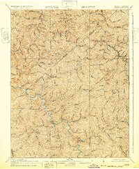
1917 Map of Hurley
USGS Topo · Published 1932About this map
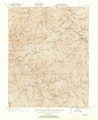
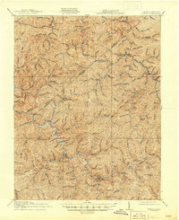
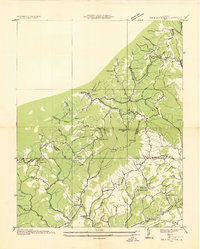
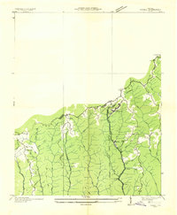
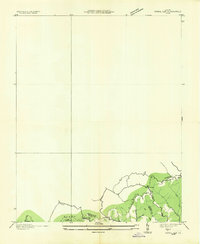
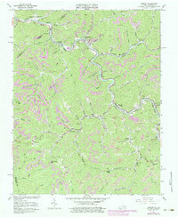
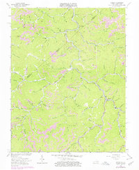
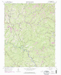
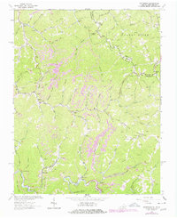
Grundy and the surrounding mountain ridges of Buchanan County are captured here during a period of transition for Central Appalachia. The landscape is defined by an intricate network of narrow hollows and deep creek valleys, where isolated mountain schools like Linn Camp School and Looney Creek School served dispersed timber and coal communities. Along the northern edge, the Sandy River and Elkhorn RR provided a vital connection through the rugged terrain, passing through Middle Elk Station. This 1917 survey reflects the region's reliance on post offices like Pawpaw and Kelsa as centers of local life. The map's detailed hydrology, including the Levisa Fork and Slate Creek, illustrates the drainage patterns that dictated the placement of settlements like Hurley and Big Rock long before modern highways reached these steep ridges.
Find a feature on this map
121 named features on this map. Tap any name to fly to it.
Don’t see what you’re looking for? This feature index may not catch every label — zoom into the map to look around manually.
Map Details
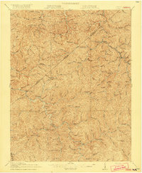
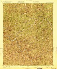
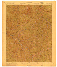
Editions of this 1917 Hurley Map
5 editions found
Historical Maps of Grundy Through Time
22 maps found

1914 Bucu
Buchanan County, VA

1914 Hurley
Buchanan County, VA
1915 Hurley
Buchanan County, VA

1916 Bucu
Buchanan County, VA
1917 Hurley
Buchanan County, VA
1935 Big A Mountain
Buchanan County, VA
1935 Jewell
Buchanan County, VA
1935 Pistol Gap
Buchanan County, VA
1954 Harman
Buchanan County, VA
1954 Hurley
Buchanan County, VA
1958 Big A Mountain
Buchanan County, VA
1963 Harman
Buchanan County, VA
1963 Hurley
Buchanan County, VA
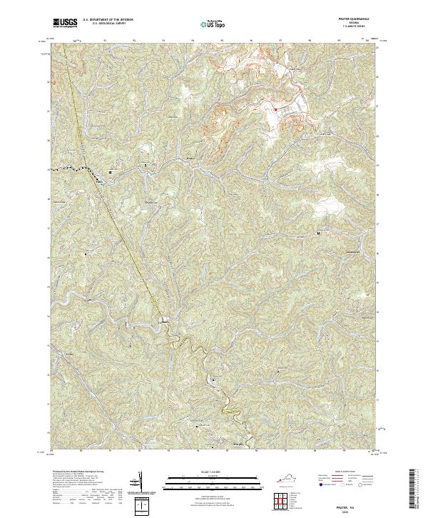
1963 Prater
Buchanan County, VA
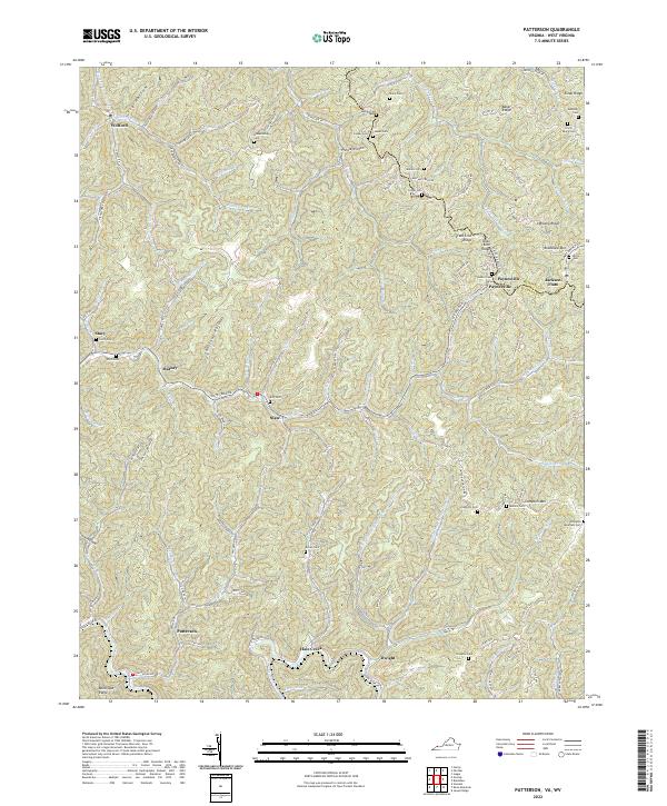
1964 Patterson
Buchanan County, VA
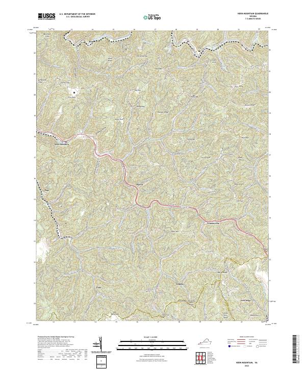
1968 Keen Mountain
Buchanan County, VA
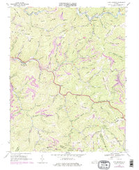
2022 Big A Mountain
Buchanan County, VA
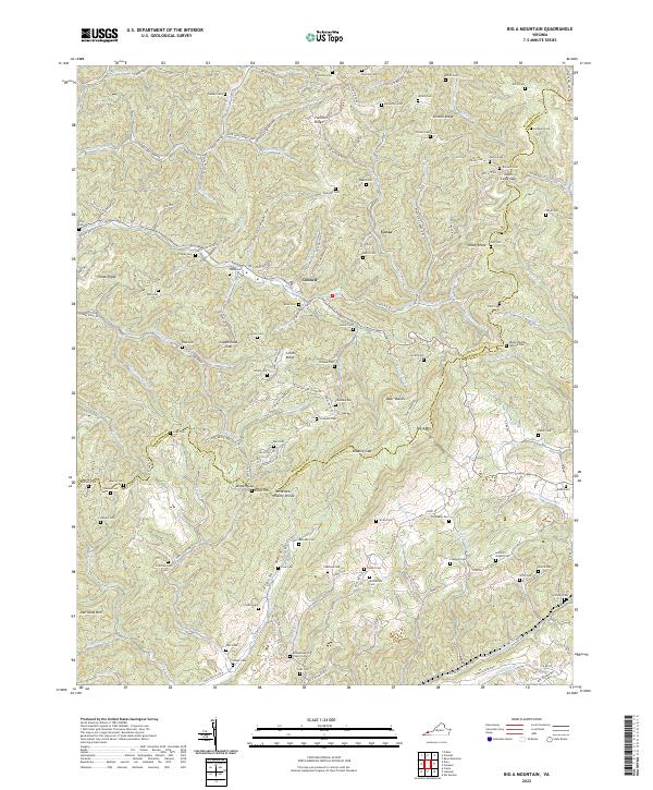
2022 Harman
Buchanan County, VA
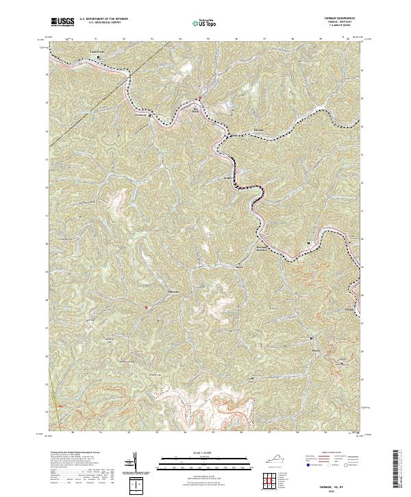
2022 Hurley
Buchanan County, VA
2022 Keen Mountain
Buchanan County, VA
2022 Patterson
Buchanan County, VA
2022 Prater
Buchanan County, VA