
1905 Map of Hurlock
USGS Topo · Published 1905About this map
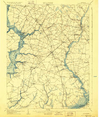
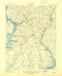
Choptank River and the Nanticoke River define the watery boundaries of this early twentieth-century Eastern Shore landscape. The region relies heavily on its waterways for commerce, evidenced by numerous landings such as Oystershell Pt Landing, Browns Landing, and Walnut Landing. Maritime traffic is a primary artery of life, with a designated Steamboat Route navigating the river bends near Secretary and Jamaica Point. Inland, the landscape is a network of small agricultural settlements and crossroads connected by the Baltimore Chesapeake and Atlantic Ry.
Find a feature on this map
85 named features on this map. Tap any name to fly to it.
Don’t see what you’re looking for? This feature index may not catch every label — zoom into the map to look around manually.
Map Details
Editions of this 1905 Hurlock Map
3 editions found
Other maps of this area

1898 · Choptank
USGS Topo · 1:125,000

1898 · St. Marys
USGS Topo · 1:125,000

1901 · Salisbury
USGS Topo · 1:62,500

1903 · Nanticoke
USGS Topo · 1:62,500

1904 · St. Michaels
USGS Topo · 1:62,500

1904 · Oxford
USGS Topo · 1:62,500

1905 · Crapo
USGS Topo · 1:62,500

1905 · Denton
USGS Topo · 1:62,500

1906 · St. Marys
USGS Topo · 1:125,000

1908 · Choptank
USGS Topo · 1:125,000