2022 Map of Huron
USGS Topo · Published 2022About this map
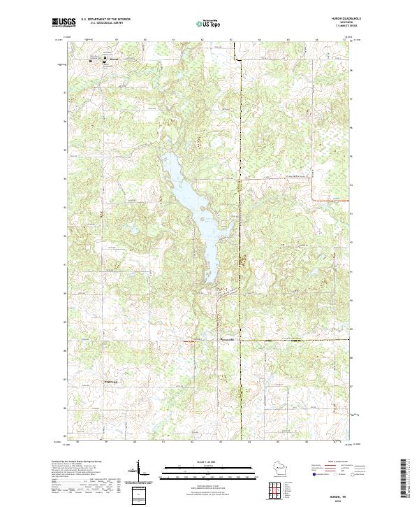
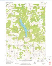
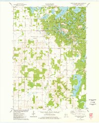
The settlement of Huron anchors the northern portion of this landscape, situated near a cluster of local history sites including Saint Mary's Catholic Cem, Saint Johns Orthodox Cem, and the Huron Community Cem. Moving south, the terrain is defined by the central expanse of Otter Lake, which feeds into Otter Cr as it winds through a mix of wetland and upland areas toward Brownville. The southern reaches are characterized by more varied topography, rising toward Maple Hill and the waters of the Wolf River and Little Otter Cr. This contemporary survey reveals a well-established network of county roads and section lines that frame the rural homesteads and natural corridors of the region. The inclusion of the Ice Age National Scenic Trl cutting across the central eastern sections highlights the integration of modern recreational paths with the older agricultural and riparian patterns of the county.
Find a feature on this map
51 named features on this map. Tap any name to fly to it.
Don’t see what you’re looking for? This feature index may not catch every label — zoom into the map to look around manually.
Map Details
Editions of this 2022 Huron Map
This is the sole edition of this map. No revisions or reprints were ever made.
Historical Maps of Junction Through Time
18 maps found
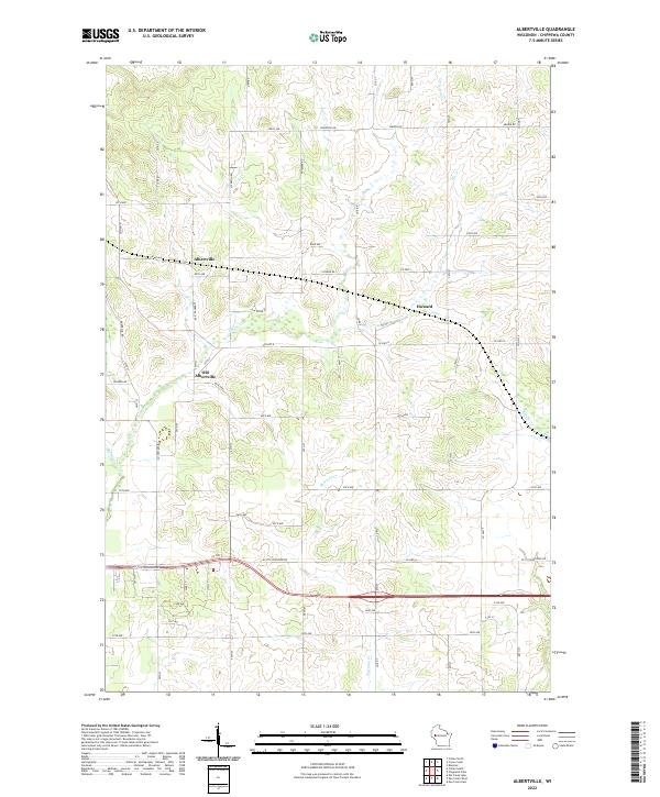
1972 Albertville
Chippewa County, WI
1973 Colburn
Chippewa County, WI
1973 Crescent
Chippewa County, WI
1973 Huron
Chippewa County, WI
1973 Ruby
Chippewa County, WI
1975 Bob Lake
Chippewa County, WI
1975 Como Creek
Chippewa County, WI
1975 Marsh-Miller Lake
Chippewa County, WI
1976 Cadott NE
Chippewa County, WI
1976 Stanley NW
Chippewa County, WI
2022 Albertville
Chippewa County, WI
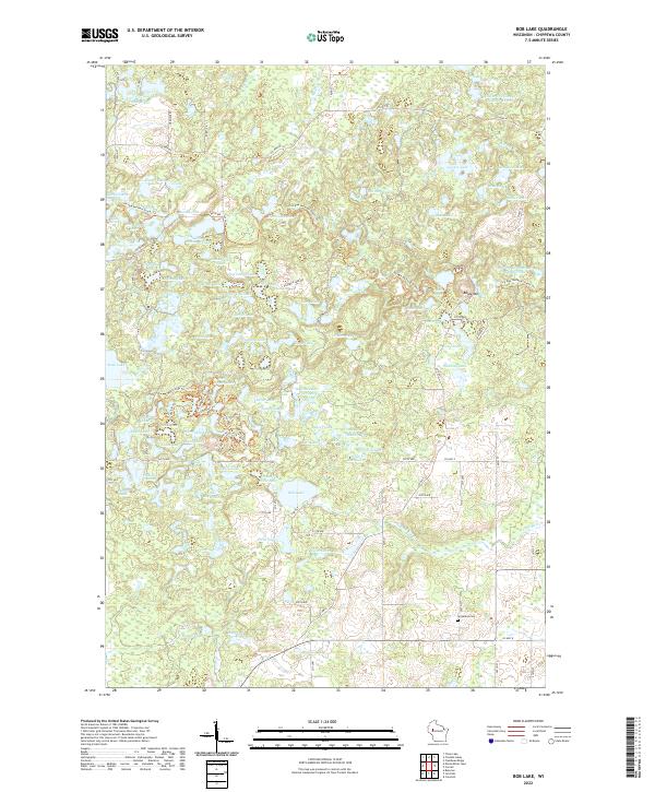
2022 Bob Lake
Chippewa County, WI
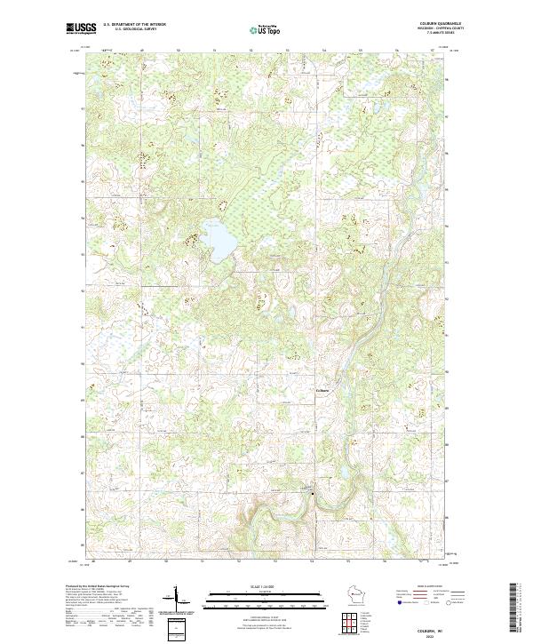
2022 Colburn
Chippewa County, WI
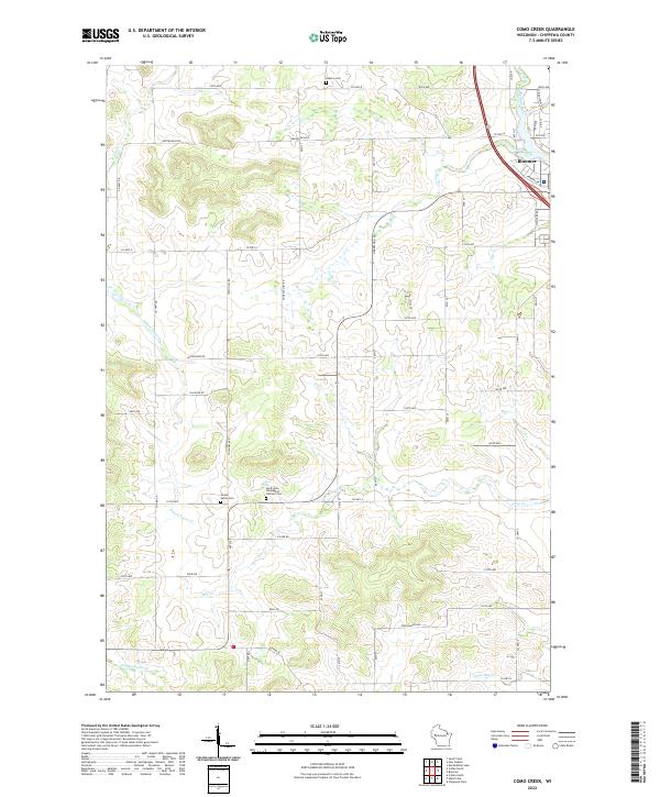
2022 Como Creek
Chippewa County, WI
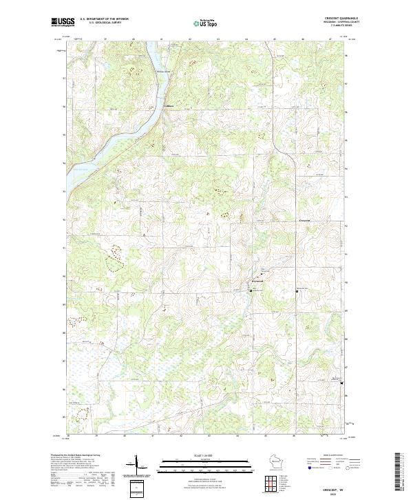
2022 Crescent
Chippewa County, WI
2022 Huron
Chippewa County, WI
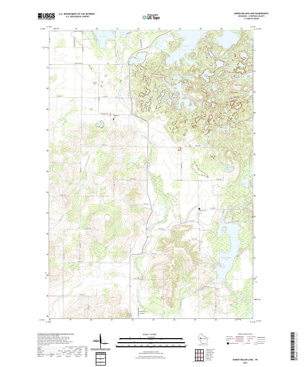
2022 Marsh-Miller Lake
Chippewa County, WI
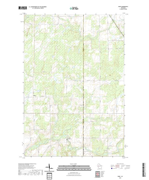
2022 Ruby
Chippewa County, WI