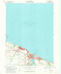
1969 Map of Huron
USGS Topo · Published 1971About this map
The Lake Erie shoreline at Huron is defined by a dense network of civic and industrial infrastructure at the end of the 1960s. The Huron River serves as the focal point for the town's geography, flanked by a concentration of streets like Main St and Tiffin St, alongside significant waterworks and sewage disposal facilities. The influence of the Penn Central and Norfolk and Western railroads is evident, tracing the coast and connecting the industrial waterfront to the interior.
Find a feature on this map
45 named features on this map. Tap any name to fly to it.
Don’t see what you’re looking for? This feature index may not catch every label — zoom into the map to look around manually.
Map Details
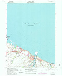
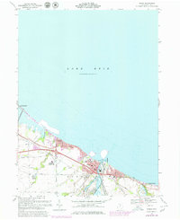
Editions of this 1969 Huron Map
Other maps of this area

1903 · Vermilion
USGS Topo · 1:62,500

1904 · Sandusky
USGS Topo · 1:62,500

1916 · Kelleys Island
USGS Topo · 1:62,500

1919 · Kelleys Island
USGS Topo · 1:62,500

1956 · Toledo
USGS Topo · 1:250,000

1959 · Kimball
USGS Topo · 1:24,000

1959 · Milan
USGS Topo · 1:24,000

1959 · Sandusky
USGS Topo · 1:24,000

1959 · Berlin Heights
USGS Topo · 1:24,000

1959 · Vermilion West
USGS Topo · 1:24,000