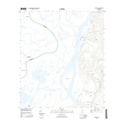
2014 Map of Hurricane
USGS Topo · Published 2014About this map
Hurricane and Creola anchor the eastern and western boundaries of this landscape, which is defined by the intricate confluence of the Mobile River and the Tensaw River. The central portion of the map is a complex network of waterways, featuring Gravine Island and Twelvemile Island amidst a maze of smaller channels like Big Bayou Canot, Franklin Bayou, and Oak Leaf Bayou. This survey illustrates the contrast between the low-lying wetlands of Chuckfee Bay and the rising elevations toward Stony Hill on the eastern side.
Find a feature on this map
62 named features on this map. Tap any name to fly to it.
Don’t see what you’re looking for? This feature index may not catch every label — zoom into the map to look around manually.
Map Details
Editions of this 2014 Hurricane Map
This is the sole edition of this map. No revisions or reprints were ever made.
Other maps of this area

1921 · Fairhope
USGS Topo · 1:62,500

1922 · Mobile
USGS Topo · 1:62,500

1940 · Mobile
USGS Topo · 1:31,680

1940 · Mobile
USGS Topo · 1:62,500

1941 · Chickasaw
USGS Topo · 1:31,680

1941 · Blakeley
USGS Topo · 1:31,680

1941 · Bay Minette
USGS Topo · 1:62,500

1941 · Creola
USGS Topo · 1:62,500

1941 · Fairhope
USGS Topo · 1:62,500

1942 · Hurricane
USGS Topo · 1:31,680