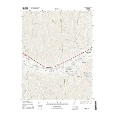
2014 Map of Hurricane
USGS Topo · Published 2014About this map
The Hurricane and Culloden corridor serves as the primary developmental axis on this West Virginia landscape, where the convergence of the Mud River and various forks of Hurricane Creek shape the residential and commercial layout. The topographical complexity of the region is defined by prominent high points like Signal Knob and deeply cut ravines such as Mill Hollow and Wolfpen Hollow. This era shows significant suburban expansion through established neighborhoods including Knollview Estates, Thompson Heights, and Westview Estates, which fill the spaces between the older municipal centers.
Find a feature on this map
121 named features on this map. Tap any name to fly to it.
Don’t see what you’re looking for? This feature index may not catch every label — zoom into the map to look around manually.
Map Details
Editions of this 2014 Hurricane Map
This is the sole edition of this map. No revisions or reprints were ever made.
Other maps of this area

1892 · Huntington
USGS Topo · 1:125,000

1898 · Huntington
USGS Topo · 1:125,000

1899 · Charleston
USGS Topo · 1:125,000

1902 · Milton
USGS Topo · 1:62,500

1906 · Glenwood
USGS Topo · 1:62,500

1906 · Winfield
USGS Topo · 1:62,500

1908 · Glenwood
USGS Topo · 1:62,500

1908 · Winfield
USGS Topo · 1:62,500

1909 · Saint Albans
USGS Topo · 1:62,500

1931 · Saint Albans
USGS Topo · 1:62,500