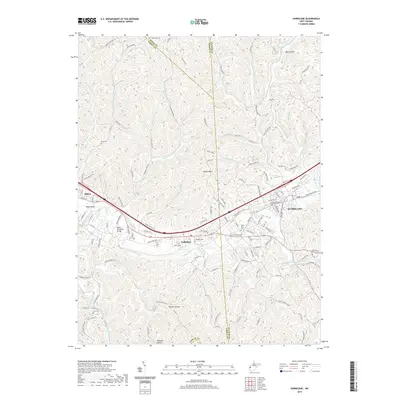
2019 Map of Hurricane
USGS Topo · Published 2019About this map
Hurricane and Culloden sit at the center of this 2019 survey, illustrating the modern development of the Teays Valley corridor. The map documents a dense network of suburban residential streets and essential infrastructure, such as the Morris Memorial Bridge and the Lake Washington area. Despite this growth, the landscape remains punctuated by many family and community burial grounds including Valley View Cem, Culloden Cem, and Burton Cem.
Find a feature on this map
113 named features on this map. Tap any name to fly to it.
Don’t see what you’re looking for? This feature index may not catch every label — zoom into the map to look around manually.
Map Details
Editions of this 2019 Hurricane Map
This is the sole edition of this map. No revisions or reprints were ever made.
Other maps of this area

1892 · Huntington
USGS Topo · 1:125,000

1898 · Huntington
USGS Topo · 1:125,000

1899 · Charleston
USGS Topo · 1:125,000

1902 · Milton
USGS Topo · 1:62,500

1906 · Glenwood
USGS Topo · 1:62,500

1906 · Winfield
USGS Topo · 1:62,500

1908 · Glenwood
USGS Topo · 1:62,500

1908 · Winfield
USGS Topo · 1:62,500

1909 · Saint Albans
USGS Topo · 1:62,500

1931 · Saint Albans
USGS Topo · 1:62,500