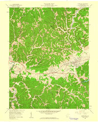
1958 Map of Hurricane
USGS Topo · Published 1960About this map
Teays Valley serves as a primary geographic corridor in this 1950s survey, following the ancient riverbed through Putnam and Cabell counties. The industrial and transportation spine of the region is clearly defined by the parallel routes of the Midland Trail and the Chesapeake and Ohio railroad, which connect the settlements of Milton and Culloden. This infrastructure supports a landscape that transition from the denser development of the valley floor to the narrow ridges and deep hollows of the surrounding hills.
Find a feature on this map
52 named features on this map. Tap any name to fly to it.
Don’t see what you’re looking for? This feature index may not catch every label — zoom into the map to look around manually.
Map Details
Editions of this 1958 Hurricane Map
This is the sole edition of this map. No revisions or reprints were ever made.
Other maps of this area

1892 · Huntington
USGS Topo · 1:125,000

1898 · Huntington
USGS Topo · 1:125,000

1899 · Charleston
USGS Topo · 1:125,000

1902 · Milton
USGS Topo · 1:62,500

1906 · Glenwood
USGS Topo · 1:62,500

1906 · Winfield
USGS Topo · 1:62,500

1908 · Glenwood
USGS Topo · 1:62,500

1908 · Winfield
USGS Topo · 1:62,500

1909 · Saint Albans
USGS Topo · 1:62,500

1931 · Saint Albans
USGS Topo · 1:62,500