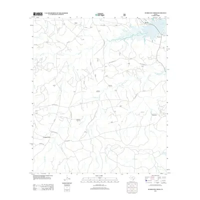
2012 Map of Hurricane Creek
USGS Topo · Published 2012About this map
Clarktown and Scrapping Valley anchor this landscape along the western shores of the Toledo Bend Reservoir during the early 21st century. The map reveals a dense network of forest roads and national forest development routes, reflecting the region's managed timberlands and recreational proximity to the water. Genealogical interest is particularly high here, with numerous small family and community burial grounds scattered across the terrain, including the Wilkerson Family Cem, Anderson Bowie Cem, and Deas-Mason Smith Cem. The complex hydrology of the area is defined by the namesake Hurricane Cr and its various branches, such as Dry Hurricane Cr and Wet Hurricane Cr, which drain into the larger reservoir system near the settlement of Mason.
Find a feature on this map
36 named features on this map. Tap any name to fly to it.
Don’t see what you’re looking for? This feature index may not catch every label — zoom into the map to look around manually.
Map Details
Editions of this 2012 Hurricane Creek Map
This is the sole edition of this map. No revisions or reprints were ever made.
Other maps of this area

1944 · Negreet
USGS Topo · 1:62,500

1944 · Wiergate
USGS Topo · 1:62,500

1948 · Wiergate
USGS Topo · 1:62,500

1953 · Alexandria
USGS Topo · 1:250,000

1954 · Wiergate
USGS Topo · 1:24,000

1954 · Columbus
USGS Topo · 1:24,000

1954 · Fairdale
USGS Topo · 1:24,000

1954 · Negreet
USGS Topo · 1:62,500

1954 · Wiergate
USGS Topo · 1:62,500

1955 · Alexandria
USGS Topo · 1:250,000