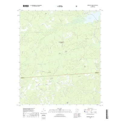
2019 Map of Hurricane Creek
USGS Topo · Published 2019About this map
Sabine National Forest dominates this East Texas landscape, where the wooded terrain is crisscrossed by forest service roads and a dense network of local creeks. The northeastern corner of the map features a portion of the Toledo Bend Reservoir, with the small community of Six Mile Village and nearby residential roads like Duhon Dr and Holiday Cir. For those researching family history in the area, the map is remarkably detailed regarding burial sites, including the Pleasant Hill Cem, Wilkerson Family Cem, and Anderson Bowie Cem.
Find a feature on this map
46 named features on this map. Tap any name to fly to it.
Don’t see what you’re looking for? This feature index may not catch every label — zoom into the map to look around manually.
Map Details
Editions of this 2019 Hurricane Creek Map
This is the sole edition of this map. No revisions or reprints were ever made.
Other maps of this area

1944 · Negreet
USGS Topo · 1:62,500

1944 · Wiergate
USGS Topo · 1:62,500

1948 · Wiergate
USGS Topo · 1:62,500

1953 · Alexandria
USGS Topo · 1:250,000

1954 · Wiergate
USGS Topo · 1:24,000

1954 · Columbus
USGS Topo · 1:24,000

1954 · Fairdale
USGS Topo · 1:24,000

1954 · Negreet
USGS Topo · 1:62,500

1954 · Wiergate
USGS Topo · 1:62,500

1955 · Alexandria
USGS Topo · 1:250,000