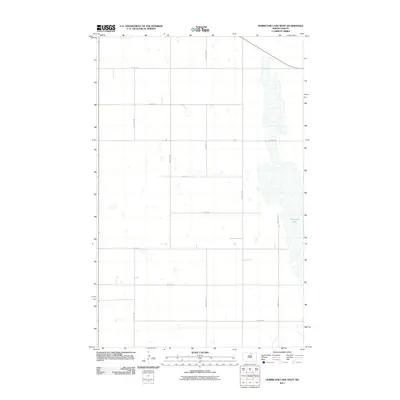
2011 Map of Hurricane Lake West
USGS Topo · Published 2011About this map
Hurricane Lake dominates the eastern boundary of this Pierce County landscape, its irregular shoreline and wetlands defining the drainage patterns of the region. The map reveals a strictly regulated section-line road network, where routes like 74th St NE and 53rd Ave NE carve the prairie into a precise grid of agricultural parcels. This 2011 survey, produced by the U.S. Geological Survey using imagery from 2009, reflects the persistent rural character of the North Dakota plains. The absence of concentrated settlements highlights a landscape of dispersed farmsteads and open terrain typical of the northern Great Plains, where long thoroughfares such as 49th Ave NE provide the primary connection between isolated rural properties and the broader county infrastructure.
Find a feature on this map
14 named features on this map. Tap any name to fly to it.
Don’t see what you’re looking for? This feature index may not catch every label — zoom into the map to look around manually.
Map Details
Editions of this 2011 Hurricane Lake West Map
This is the sole edition of this map. No revisions or reprints were ever made.
Other maps of this area

1953 · Devils Lake
USGS Topo · 1:250,000

1956 · Devils Lake
USGS Topo · 1:250,000

1971 · Wolford
USGS Topo · 1:24,000

1971 · Bisbee South
USGS Topo · 1:24,000

1971 · Island Lake
USGS Topo · 1:24,000

1971 · Knox
USGS Topo · 1:24,000

1971 · Hurricane Lake West
USGS Topo · 1:24,000

1971 · York
USGS Topo · 1:24,000

1971 · Leeds
USGS Topo · 1:24,000

1971 · Mylo SE
USGS Topo · 1:24,000