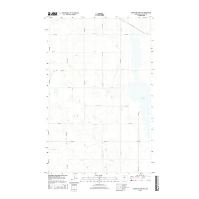
2014 Map of Hurricane Lake West
USGS Topo · Published 2014About this map
Hurricane Lake dominates the eastern margin of this northern Pierce County landscape, providing a primary hydrological anchor for the surrounding prairie. This 2014 survey captures a rural North Dakota grid system defined by an orderly network of section roads, including longitudinal markers from 48th Ave NE to 53rd Ave NE. The northern reaches are intersected by Nd-17, which cuts diagonally across the township lines toward the lake's upper shore. The terrain is characterized by the numerous small depressions and potholes typical of the region's geography, situated between lateral corridors like 74th St Ne and 67th St Ne. This map is a clear record of the intersection between state transportation infrastructure and the natural wetlands of the northern plains.
Find a feature on this map
16 named features on this map. Tap any name to fly to it.
Don’t see what you’re looking for? This feature index may not catch every label — zoom into the map to look around manually.
Map Details
Editions of this 2014 Hurricane Lake West Map
This is the sole edition of this map. No revisions or reprints were ever made.
Other maps of this area

1953 · Devils Lake
USGS Topo · 1:250,000

1956 · Devils Lake
USGS Topo · 1:250,000

1971 · Wolford
USGS Topo · 1:24,000

1971 · Bisbee South
USGS Topo · 1:24,000

1971 · Island Lake
USGS Topo · 1:24,000

1971 · Knox
USGS Topo · 1:24,000

1971 · Hurricane Lake West
USGS Topo · 1:24,000

1971 · York
USGS Topo · 1:24,000

1971 · Leeds
USGS Topo · 1:24,000

1971 · Mylo SE
USGS Topo · 1:24,000