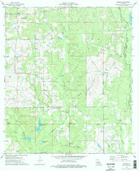
1974 Map of Husser
USGS Topo · Published 1977About this map
Chappapeela Creek and its many tributaries, including Squirrel Creek and Spring Creek, define the drainage of this area in northern Tangipahoa Parish during the mid-1970s. The landscape is a mix of creek bottoms and low ridges, marked by a high density of family cemeteries such as Stevens Cem, Hughes Cem, and Reed Cem, which suggest a long-established rural population. Small crossroads settlements like Husser and Osceola anchor the local road network, while the western edge is overlooked by the Loranger Lookout Tower. The presence of numerous small churches, including New Sharon Ch and Lee Valley Ch, alongside several man-made features like Spring Creek Lake and Dogwood Lake, illustrates how the community has managed the wetland environment of Buzzards Roost Swamp for both utility and residence.
Find a feature on this map
46 named features on this map. Tap any name to fly to it.
Don’t see what you’re looking for? This feature index may not catch every label — zoom into the map to look around manually.
Map Details
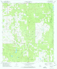
Editions of this 1974 Husser Map
2 editions found
Other maps of this area

1940 · Tickfaw
USGS Topo · 1:31,680

1942 · Onville
USGS Topo · 1:31,680

1942 · Husser
USGS Topo · 1:31,680

1942 · Robert
USGS Topo · 1:31,680

1942 · Wilmer
USGS Topo · 1:31,680

1942 · Loranger
USGS Topo · 1:31,680

1949 · Bolivar
USGS Topo · 1:31,680

1950 · Folsom
USGS Topo · 1:31,680

1950 · Franklinton
USGS Topo · 1:31,680

1954 · Folsom
USGS Topo · 1:62,500