Loading...
Loading map...2022 Map of Hustisford
USGS Topo · Published 2022About this map
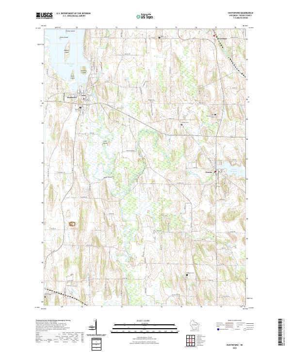
The waters of the Rock River define the local landscape, flowing south from the expansive Sinissippi Lake through the heart of Hustisford. This Dodge County terrain is a complex network of wetlands and islands, including Stone Island, Anthony Island, and Coles Island. Further east, the Rubicon River winds toward the Neosho Millpond and the settlement of Neosho, reflecting the area’s historic reliance on river systems for power and transport.
Find a feature on this map
108 named features on this map. Tap any name to fly to it.
Don’t see what you’re looking for? This feature index may not catch every label — zoom into the map to look around manually.
Map Details
Date Portrayed2022
Date Published2022
PublisherU.S. Geological Survey
Map TypeTopographic
Scale1:24000
Physical Dimensions24 x 29 inches
Editions of this 2022 Hustisford Map
This is the sole edition of this map. No revisions or reprints were ever made.
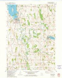
Historical Maps of Hustisford Through Time
Featured Locations
Source Details
SourceU.S. Geological Survey
CopyrightPublic Domain