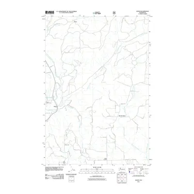
2011 Map of Husum
USGS Topo · Published 2011About this map
The White Salmon River cuts through this portion of Klickitat County, serving as the primary geographical anchor for the settlement of Husum. To the north, the terrain transitions into the high-elevation flats and creek drainages where the community of Gilmer is situated along Gilmer Creek. The presence of the Spencer Reservoir Dam and the adjacent Spencer Reservoir highlights the managed water resources of the region, while the Port Elsner Airport provides a modern aviation landmark near McCoy Flat.
Find a feature on this map
58 named features on this map. Tap any name to fly to it.
Don’t see what you’re looking for? This feature index may not catch every label — zoom into the map to look around manually.
Map Details
Editions of this 2011 Husum Map
This is the sole edition of this map. No revisions or reprints were ever made.
Other maps of this area

1926 · Hood River
USGS Topo · 1:125,000

1929 · Hood River
USGS Topo · 1:125,000

1934 · The Dalles
USGS Topo · 1:125,000

1953 · The Dalles
USGS Topo · 1:250,000

1956 · The Dalles
USGS Topo · 1:250,000

1957 · The Dalles
USGS Topo · 1:250,000

1957 · Willard
USGS Topo · 1:62,500

1957 · White Salmon
USGS Topo · 1:62,500

1957 · Husum
USGS Topo · 1:62,500

1957 · Hood River
USGS Topo · 1:62,500